Download
1 / 16
160 likes | 254 Vues
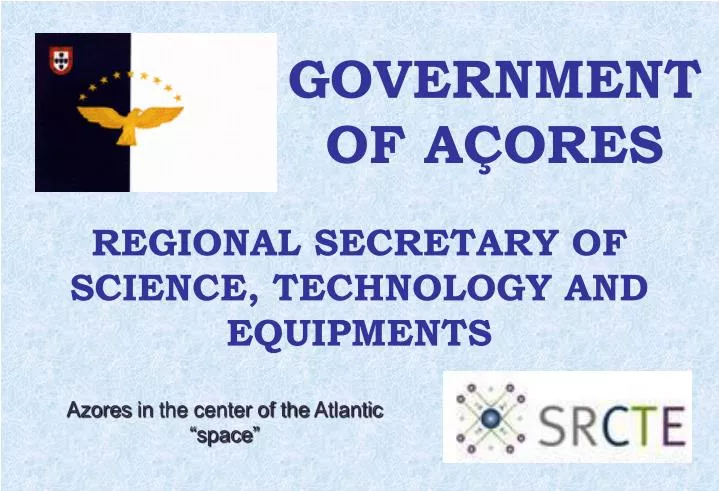
GOVERNMENT OF AÇORES. REGIONAL SECRETARY OF SCIENCE, TECHNOLOGY AND EQUIPMENTS. Azores in the center of the Atlantic “ space ”. 2. 3. TOULOUSE. AÇORES ILHAS DO “MAR”. PORTUGAL. BOSTON.

E N D
GOVERNMENT OF AÇORES REGIONAL SECRETARY OF SCIENCE, TECHNOLOGY AND EQUIPMENTS AzoresinthecenteroftheAtlantic “space”
TOULOUSE AÇORES ILHAS DO “MAR” PORTUGAL BOSTON
The Azores are situated in the North Atlantic Ocean in a strategic position between Europe, America and Africa. • Are distant approximately 1.800km of Lisbon (Portugal Continental) 3.900km East Coast of North America and 2355 km from Toulouse.
They are located in the geographical coordinates 39 º 43 'and 36 º 55' north latitude, 24 º 26 'and 31 º 24' west longitude, which gives it a moderate climate without large annual variations.
The nine islands have a total area of 2355 km2. The areas range between 747 km2 (San Miguel) and 17 km2 (Corvo). Areas
The nine islands of the archipelago is divided into three groups: The Eastern Group Sao Miguel and Santa Maria, the Central Group of Terceira, Graciosa, Sao Jorge, Pico and Faial, and the Western Group formed by the islands of Flores and Corvo.
The volcanic origin of all the islands is well reflected in their volcanic cones and craters. Pico, a volcano with a height of 2351 meters, located on the island of the same name, is the highest altitude in the Azores.
RIBEIRA QUENTE 1997 In this landslide 29 people died, two were seriously injured and the homeless were in total 114.
FAIAL 1998 The earthquake has caused 8 deaths, 150 wounded and more than 1,500 homeless
VHF/SRPCBA Feixes hertzianos RED Links a 2 GHz (betewen islands) Green Links a 13 GHz (in the island) In the islands Simulcast system, using voting
SatelliteNetwork INMARSAT Network Satellite Geostationary satellites (35,700 km in the plane of the equator)4 satellitesIndicative +870 Iridium Low orbit satellites (780 km)66 satellites in six orbits (11 satellites in orbit)Each satellite is connected to four (up, down, right, left)Indicative +811
SatelliteNetworkCoverageINMARSAT AOR-E ou o AOR-W The antennas of the equipment must be turned south, running after acquiring the satellite signal
ESA Station in Santa Maria Island Tracking of launchings from the European spaceport in Kourou, French Guiana; Earth Observation Station; Atlantic Maritime Surveillance National Centre.