Download

1 / 27
270 likes | 440 Vues
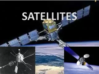
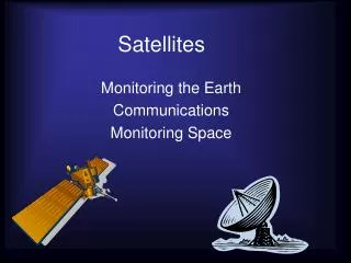
Multimission platform and Brazilian EO satellites. Gilberto Câmara INPE http://www.dpi.inpe.br/gilberto. The need for global land observation . The world is changing rapidly Climate Change is here to stay

E N D
Multimission platform and Brazilian EO satellites Gilberto Câmara INPE http://www.dpi.inpe.br/gilberto
The need for global land observation • The world is changing rapidly • Climate Change is here to stay • Global land observation is a crucial need for the world, but its future is uncertain • MODIS is very useful,but has no future • What will happen to LANDSAT? • Global land observation systems are a public good
The need for fast monitoring of change • Protecting the Amazonian rain forest • Annual wall-to-wall detailed survey • Uses LANDSAT-class satellites • Daily monitoring of new deforestations • Uses MODIS-class satellites
Altamira (Pará) – MODIS Image – 21 May 2004 Imagem Modis de 2004-05-21, com excesso de nuvens
Altamira (Pará) – MODIS Image – 22 June 2004 6.000 hectares deforested in one month!
Desmatamento 2005-2006 Desmatamento 2004-2005 Floresta Desmatamento anterior Cumaru do Norte (PA)
Rationale for Brasil’s SSR-1 satellite • Brazil needs satellites with fast revisit for real time deforestation detection • We currently use MODIS (daily revisit) but need a better spatial resolution • The AWFI (advanced wide field imager) sensor in CBERS-3 has 60 meter resolution every 5 days • SSR-1 will have a AWFI with 40 meter resolution every 5 days • With the AWFIs of CBERS-3 and SSR-1, we will cover Amazônia every 2 days
Meeting Brazil’s needs for remote sensing 100 Tecnology 2000 PAN CB3 50 Tecnology 2008 CCD CB2/CB3 Tecnology 2015 Revisit (metres) Deforestation mapping 10 Agriculture identification AWFI CB3 5 WFI CB2 AWFI CB3 + AWFI SSR1 Agriculture mapping Deforestation detection 1 5 50 1 10 100 1000 Resolution (days)
US satellites used for Amazon deforestation monitoring LANDSAT/5 – 30 metre resolution every 16 days MODIS – 250 metre resolution every day
Meeting Brazil’s needs for remote sensing • Today - We monitor Amazônia with 250 meters resolution every day • In 2009, Brazil will have the capacity to monitor Amazonia and the entire Earth with 50 meters resolution every 2 days
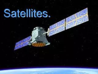
Multimission platform Brazil’s project of medium-sized satellites
MMP: General purpose bus • Earth observation missions • polar or near–equatorial orbit • 600 to 1200 km height • up to ~300 kg payload weight • 175 W average / 900 W peak power • compatibility with launchers in the 500 – 600 kg payload class
Attitude control performance • Pointing precision: < 0.05º (3σ) • Drift: < 0.001º/s • Attitude determination: < 0.005º (3σ) • Lateral pointing agility: 30º in 180 s
Possible payloads • Optical (CBERS heritage) • Wide-field imager • Medium resolution camera • Radar • Lightweight SAR • Scientific • GPM sensors
SSR-1 optical payload AWFI 0,45-0,52 B 0,52-0,59 G m Spectral bands ( m) 0,63-0,69 R 0,77-0,89 NIR Spatial resolution (m) 40 Swath (km) 800 5 Revisit period (days)
SAR payload (SSR-2) subreflector, data downlink antenna reflector antenna feed horn SAR payload solar panel MMP
SSR-2 SAR payload Parameters Frequency L band Polarization single, dual and quad polarization Incidence interval 20° – 45° Spatial resolution 3 – 20 m Swath 20 – 55 km Orbit sun-synchronous Coverage global Look direction ascending/descending and left/right Revisit period weekly Access to data near real time Add. requirements Interferometry and stereoscopy