Download
1 / 11
110 likes | 256 Vues
Cadastral registration of cross-boundary infrastructure objects. Hendrik Ploeger en Jantien Stoter. OTB Research Institute for the Built Environment Section Geo-Informatation and Landmanagement. Main principles of land ownership. Superfices solo cedit (vertical accession)

E N D
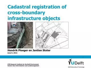
Cadastral registration of cross-boundary infrastructure objects Hendrik Ploeger en Jantien Stoter OTB Research Institute for the Built Environment Section Geo-Informatation and Landmanagement
Main principles of land ownership • Superfices solo cedit (vertical accession) • Cuius est solum, est usque ad sidera, usque ad inferos Land ownership = (surface) parcel based
Two spheres surface subsurface
Importance of cross-boundary infrastructure Utilities in The Netherlands: • Length: 2.000.000 km • Value: EUR 100.000.000
Rights on cross-boundary infrastructure In the Netherlands only clear in two cases • Right of superficies: ownership is the “sum” of all rights per parcel • Public networks for telecommunication: permit holder is owner of complete network
Registration of rights on cross-boundary infrastructure • Superficies: Registration of the limited real right per parcel. No cadastral “overview” of the complete infrastructure • Telecommunication network: Analogue network map Reference to a “anchor parcel” Notification per parcel
How to improve the registration? • Registration of 3D physical objects in cadastre • Object (network) can be queried as a whole • all intersecting parcels • rights established on each of the parcels • the subjects of those rights • the “holder” (manager) of the object