Download
1 / 16
160 likes | 374 Vues
Site investigation and output of utilities maps using GPR (Ground Penetrating Radar). Giovanni Ciochetto Renato Polidoro. Construction of underground infrastructures. Exhaustive knowledge of the subsoil. Information available.

E N D
Site investigation and output of utilities maps using GPR (Ground Penetrating Radar) Giovanni Ciochetto Renato Polidoro
Construction of underground infrastructures Exhaustive knowledge of the subsoil
Information available • pre-existing documentation about works (e.g. laying of utilities, etc.) carried out in the area • documentation made available by local authorities • maps of existing utilities available from other Companies (e.g. gas, water, power …) inconsistency between maps and real position of the utilities
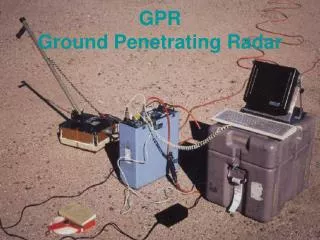
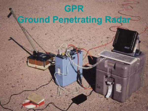
On- site investigation • detection of the existing underground utilities, in particular the most dangerous ones (e.g. gas, power, high density TLC cables) • production of precise and updated maps GPR
Telecom Italia requirements • Improvement in detection of buried utilities • Automated output of utilities map • Ground nature investigation RIS System
RIS system main features • multi antenna and multi channel array • powerful post-processing tools • direct connection with CAD and GIS systems
On site GPR surveying Data processing Output of utilities map Updating of existing digital cartography
Detailed view of the road in which the survey was performed
Conclusion • Reduction of environmental and social impact of road works • Use of new construction techniques (no dig) • Exhaustive knowledge of the subsoil • Development of a new GPR: the RIS system • Improvement in utilities detection and automaticoutput of utilities maps • Automatic updating of existing digital cartography