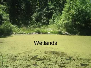
Wetlands
Wetlands. Clark Matt Aaron. What are Wetlands ?. wetlands are lands where saturation with water is the dominant factor determining the nature of soil development and the types of plant and animal communities living in the soil and on its surface. Wetlands vary by:. Soil type topography

Wetlands
E N D
Presentation Transcript
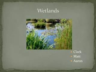
Wetlands • Clark • Matt • Aaron
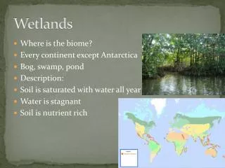
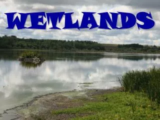
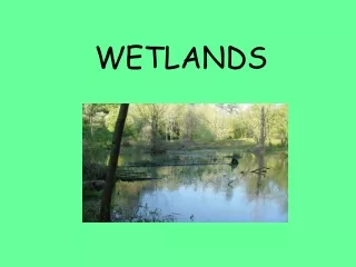
What are Wetlands? wetlands are lands where saturation with water is the dominant factor determining the nature of soil development and the types of plant and animal communities living in the soil and on its surface
Wetlands vary by: • Soil type • topography • climate • hydrology • water chemistry • vegetation • including human disturbance • found from the tundra to the tropics and on every continent except Antarctica Tundra wetlands Tropical wetlands
Clean Water Act • term wetlands means "those areas that are inundated or saturated by surface or groundwater at a frequency and duration sufficient to support, and that under normal circumstances do support, a prevalence of vegetation typically adapted for life in saturated soil conditions. Wetlands generally include swamps, marshes, bogs and similar areas."
Why protect wetlands • immense variety of species of microbes, plants, insects, amphibians, reptiles, birds, fish, and mammals can be part of a wetland ecosystem • animals use wetlands for part of or all of their life-cycle • wetlands help to moderate global climate conditions.
Birds and wetlands • ducks, geese, woodpeckers, hawks, wading birds, and many song-birds, feed, nest, and raise their young in wetlands • some species of migratory birds are completely dependent on certain wetlands and would become extinct if those wetlands were destroyed
Flood Protection • function as natural sponges that trap and slowly release surface water, rain, snowmelt, groundwater and flood waters • trees, root mats, and other wetland vegetation slow the speed of flood waters and distribute them more slowly over the floodplain • wetlands protect shorelines and stream banks against erosion
Water Quality • filtering capabilities • wetlands retain excess nutrients and some pollutants • reduce sediment that clogs waterways • replenish groundwater
Mass Wetlands Protection Act • protects wetlands and the public interests they serve, including: • flood control • prevention of pollution and storm damage • protection of public and private water supplies • groundwater supply • Fisheries • land containing shellfish • wildlife habitat
Mass Wetlands Protection Act • Cannot alter or destroy wetlands unless: • They are on existing structure that are used for public services • The Wetlands that are destroyed are replaced in another location • Proper paperwork must be submitted and reviewed in order to do such projects
Three Characteristics for Identifying Wetlands • Hydrology – amount of soil saturation • Hydrophytes – is there wetland vegetation • HydricSoils – soil wet enough to periodically produce anaerobic conditions (no air circulates the soil because of amount of water)
Classification of Hydrophytes Indicator CategoryProbability of Wetland Obligate wetland (OBL) > 99% Facultative wetland (FACW) 67-99% Facultative (FAC) 34-66% Facultative Upland (FACU) 1-33% Upland Plants (UPL) < 1%
Examples of Indicators • Obligate wetland (OBL) • Cattail • Facultative wetland (FACW) • Poison Ivy • Facultative (FAC) • Witch Hazel • Facultative Upland • Mountain Laurel • Upland Plants • Ground Juniper
What We Did • Used ground-truthing to delineate wetland behind WSU • Walked around the perimeter of the wetland • Used a GPS that took lat/long every 2 seconds • Marked waypoints at spots of interest • Downloaded data into ArcGIS • Over-layedMassDEP wetlands layer and NWI wetlands layer • Converted all 3 layers to KML files • Projected into Google Earth