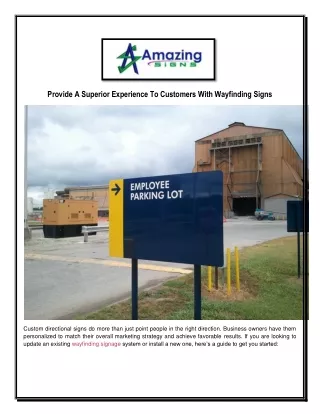
Evolution of Maps and Wayfinding: History, Mental Constructs, and Design Challenges
This presentation explores the historical development of maps and wayfinding, from ancient methods of representing location to modern conventions that emerged in the last 500 years. It examines the interplay between European map-making and indigenous practices, and highlights significant maps, such as Minard’s depiction of Napoleon's retreat. The discussion extends to mental images associated with geography and challenges faced in creating effective, cross-cultural wayfinding systems, particularly for multilingual users. It raises questions about the emotional connections people have with places and the design of pictorial communication systems.

Evolution of Maps and Wayfinding: History, Mental Constructs, and Design Challenges
E N D
Presentation Transcript
Maps and Wayfinding EDC&I 583 Message Design 25 January 2012
Earliest Maps • Ancient form of representing location and direction • What we think of as “typical” conventions arose only in last 400-500 years • “Yes, but how to I get from Paris to Frankfurt?”
Emergence of Conventions • El Mapa de Teozacoalco, drawn about 1580 • conventions from both European map-making and Mixtec codex-painting
Maps and Data • A development of the late 18th – 19th c. • Minard’s Napoleon’s Retreat map; other ways of connecting aspects of data with location, direction, duration, etc. • Europe Raw Cotton Imports, 1858, 1864, 1865
Changing What Scale Means • USA mapped by population density • World mapped by population density
WHO estimates of per capita mortality from late 20th century climate change • Bottled water consumption per capita
Maps and Mental Images • Aerial views before there were airplanes (or even dirigibles!) Bird's-eye map of Seattle in 1891
How We Think the World Is • The World as Seen from New York's 9th Avenue • Courtesy of Saul Steinberg
Whose View? • Prejudices can easily come to the fore … • Europe, as viewed by Americans • Reagan’s View of the World (per David Horsey)
Research on Mental Constructs • How do people think about “their world”? • What emotional reactions attach to places? • How do imagined and real distances compare?
Wayfinding • Increasing issue, esp. in contexts with multi-lingual users • Frequent use of isotype (and related) symbols • Challenges and problems in design
Isotype • Development of the isotype approach • Increasing variety of symbols • Some problems communicating actions, abstract concepts
Pictogram Ideogram Communication • More focus on actions, processes • Efforts to create a “syntax” of actions, places, etc. • Still not an exact science
Stickman • How come it took so long for people to see the opportunities for parody? • (Courtesy of Archie McPhee)
Will They Understand Us? • Plaque on board Pioneer 10 (launched in 1972) • Developed by Carl Sagan • Critiques: Too anthropocentric?
Online Wayfinding in Complex Graphics • This thing is so huge; where am I? • Use of inset “corner maps” to show location in larger graphic
Questions to Discuss • [Tufte ch. 2] Snow and the Broad St. pump: Have you been in a situation where you realized that mapping data would be a good solution? Did you do it? Did it work? Did others agree? • [Koyama] Pictogram/Isotype communication – Have you been in a setting where these approaches helped in cross-cultural/multi-lingual communication? Was everything comprehensible? • [Hahn] Your experience in learning to use a library (or comparable institution)?
Next Time: Review of Literature • Things to focus on when choosing studies/articles: • Quality of the journal/source • Quality of the study resign • Clarity, relevance of findings • Reputational validity • Author(s), institution/lab/center, prior research, etc. • Article summaries: Make them brief!