Download
1 / 10
100 likes | 105 Vues
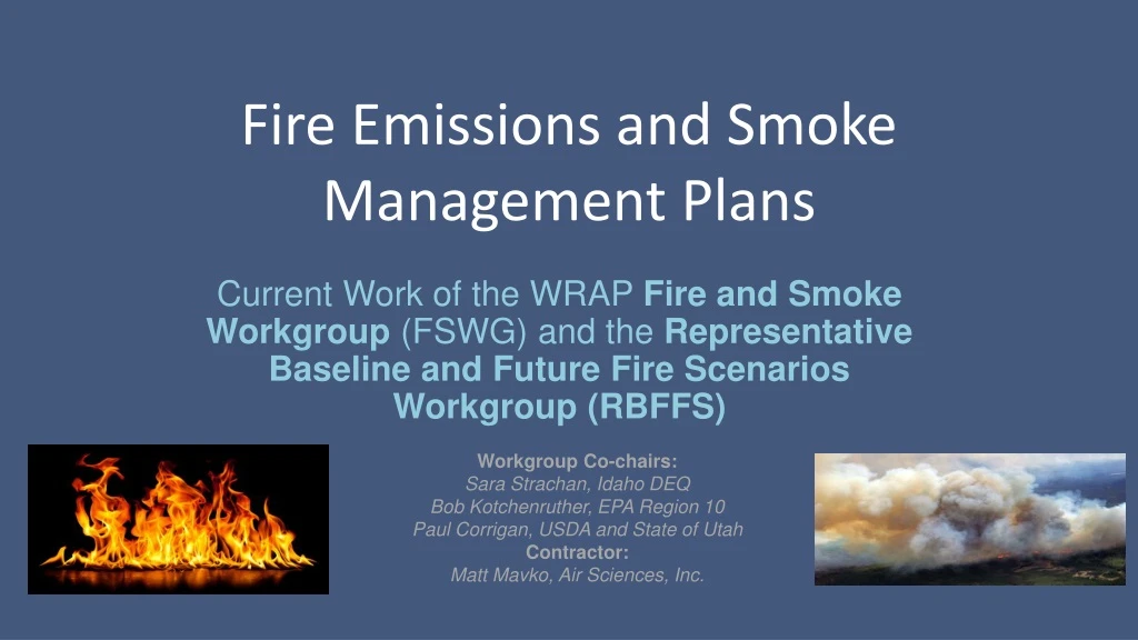
Fire Emissions and Smoke Management Plans. Current Work of the WRAP Fire and Smoke Workgroup (FSWG) and the Representative Baseline and Future Fire Scenarios Workgroup (RBFFS). Workgroup Co-chairs: Sara Strachan, Idaho DEQ Bob Kotchenruther, EPA Region 10

E N D
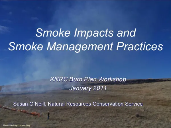
Fire Emissions and Smoke Management Plans Current Work of the WRAP Fire and Smoke Workgroup (FSWG) and the Representative Baseline and Future Fire Scenarios Workgroup (RBFFS) Workgroup Co-chairs: Sara Strachan, Idaho DEQ Bob Kotchenruther, EPA Region 10 Paul Corrigan, USDA and State of Utah Contractor: Matt Mavko, Air Sciences, Inc.
Summary of Current Work • Development of: • 5-year representative baseline wildfire emissions inventory for input to regional haze modeling • Future fire scenarios wildfire emissions inventory for input to regional haze modeling • Map-based informational portal to Smoke Management Plan/Program information for states and tribes
Representative Baseline Fire EI Regional haze modeling requires representative baseline planning emissions that best reflect the current emissions profile for each source potentially impacting Class I Area visibility.
MTBS WF Acres Burned (1984-2016) Representative Baseline Fire EI • As a source, wildfire has high annual variability in frequency, magnitude, and location. Total Area (103 Acres)
Representative Baseline Fire EI • Annual area burned has been increasing due to climate change and forest management. • Using one year (e.g. 2014 base year) is not representative of variability. • Existing fire inventories for recent 5-year period are lacking. Reference #99 in USGCRP, 2018: Impacts, Risks, and Adaptation in the United States: Fourth National Climate Assessment, Volume II [Reidmiller, D.R., C.W. Avery, D.R. Easterling, K.E. Kunkel, K.L.M. Lewis, T.K. Maycock, and B.C. Stewart (eds.)]. U.S. Global Change Research Program, Washington, DC, USA, 1515 pp.
Representative Baseline Fire EI • Decided to build a baseline inventory using a new method based on physical and biological ecoregions. • The approach takes into account fire variability in time, space, and size, while addressing the existence of differing fire regimes and their dependence on feedbacks between fire weather, climate, and fuels.
Representative Baseline Fire EI – Wildfire Workflow Round 1 (Phase IV) Round 1 (Phase IV) 2002 Base Year Base Year Event Actuals Base Year Event Actuals Base Year Event Actuals 2002 Base Year Base Year Event Actuals Base Year Event Actuals National Data 2000-2003Average Acres National Data 2000-2003Average Acres Randomly add/remove events from seed data, by State, until baseline acres achieved Current(Proposed) Histograms by ecoregion from MTBS Randomly sample histograms to date fires Probability Distributions “burnable area” from FCCS National Data 2013-2017Average Acres Generic curves from PMDETAIL database Seed Data Seasonality Location Baseline Acres Growth Monte Carlo method to place fires on burnable area within ecoregions Distributions of days by size bin [by ecoregion]; allocate growth evenly across days Grow ecoregion datasets by sampling P.D.F.’s until Nat’l baseline acres achieved
Representative Baseline Fire EI The resulting activity dataset • reflects the variability between ecoregions • locates fires across the domain. Baseline emissions will then be calculated from the activity data and submitted to the RH modelers.
Future Fire Scenarios • Future fire scenarios that aim to characterize model sensitivity to increased wildfire and Rx fire will be developed using the same methodological basis as the representative baseline inventory just described.
Map-based SMP Info Portal • Need: A clearinghouse location for a collection of contacts and materials related to States’ and Tribes’ Smoke Management Plans and Programs. • Method: Create a survey to gather information and link collected information to existing map on WRAP website. • Results: A clickable, geographically-based clearinghouse to quickly obtain information about SMPs in the WRAP domain.