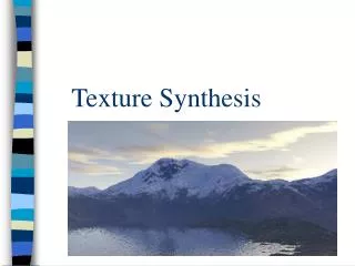
Nonparametric Bayesian Texture Learning and Synthesis
This work explores nonparametric Bayesian techniques for texture learning and synthesis, leveraging approaches such as image quilting and hierarchical Dirichlet processes combined with 2D-HMM (Hidden Markov Models) for texture analysis. The methodology is demonstrated through various applications, including aerial image analysis, automatic terrain categorization, fast satellite map synthesis, and random map generation. Results showcase the model’s capability to handle regular, stochastic, and mixture textures, providing valuable insights for image processing and analysis in remote sensing.

Nonparametric Bayesian Texture Learning and Synthesis
E N D
Presentation Transcript
Nonparametric Bayesian Texture Learning and Synthesis Leo Zhuand Bill Freeman Joint work with Chen and Torralba
Outline • Task: Texture Learning and Synthesis • Approach: Nonparametric Bayesian Learning and Image Quilting • Texture Model: Hierarchical Dirichlet Process + 2D-HMM
Texture Analysis and Synthesis Texture Analysis Input Texture Texture Synthesis
Applications: Aerial Image Analysis • Automatic terrain categorization and annotation • Fast satellite map synthesis • Satellite map compression • Fake/random map generation