Download
1 / 61
610 likes | 700 Vues
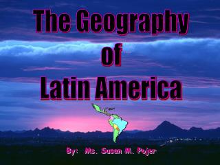
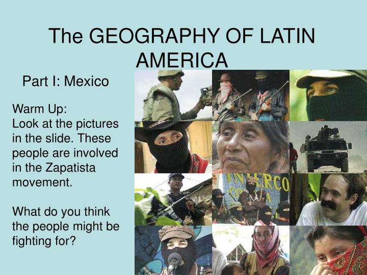
The GEOGRAPHY OF LATIN AMERICA. Part I: Mexico. Warm Up: Look at the pictures in the slide. These people are involved in the Zapatista movement. What do you think the people might be fighting for?. Sierra Madre Occidental, Northern Mexico. Copper Canyon, Northern Mexico.

E N D
The GEOGRAPHY OF LATIN AMERICA Part I: Mexico Warm Up: Look at the pictures in the slide. These people are involved in the Zapatista movement. What do you think the people might be fighting for?
Copper Canyon, Chihuahua, Mexico, it is Mexico’s Grand Canyon
Mexico City, Mexico- one of the most populated cities in the world
When the Spanish conquered Tenochtitlan (current day Mexico City) they built a cathedral directly over the main pyramid of the Aztecs. Today you can go to Mexico City and still see what is below the cathedral.
Teotihuacan- ancient Aztec cities located outside Mexico City
A cenote (underground water source)in southern Mexico- the Mayan believed these places to be sacred
Chichen Itza, (Mexico) ancient Maya Ruin in the Yucatan peninsula. The Maya would sacrifice humans for the gods and put the hearts on the Chac Mool.
Another view Of the chac mool Facing the great pyramid
San Miguel de Allende, popular city south of Mexico City. Where “Once Upon a Time In Mexico” was filmed.
Tulum, Maya site overlooking the Caribbean Sea-Yucatan Peninsula- WOW!!!
San Juan Chamula, state of Chiapas in Southern Mexico- a cathedral
Antigua, Guatemala overlooking volcano Pacaya- this volcano erupted in 2007
Indigenous woman, Guatemala
Tikal, Guatemala-ancient Maya site, the Spanish passed it for years because it is located in a dense jungle area
Blue Hole, Belize. 1,000 feet across and 400 feet deep. The hole is the opening to what was a dry cave system during the Ice Age. When the ice melted and the sea level rose, the caves were flooded, creating what is now a magnet for intrepid divers.
San Ignacio, Belize- city located along the border of Belize and Guatemala
People of Belize- they speak Garifuna, a mixture of many languages, English, Spanish, Creole
Volcanoes in The Caribbean Are the green triangles
Orinoco River, Venezuela- One of the longest rivers in South America
Sugarloaf Mountain, statue of Jesus overlooking Rio de Janeiro
Rio de Janeiro- Brazil is next to the Atlantic Ocean
Rio de Janeiro- Sleeping street Children. Many cities throughout Latin America have a large homeless problem and children end up on the streets