Download
1 / 4
40 likes | 149 Vues
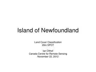
This dataset, created by Ian Olthof at the Canada Centre for Remote Sensing in November 2012, offers detailed land cover information with 150 clusters identified. The dataset includes 20m SPOT imagery classification, 100m GeoTIFF overview, 150 clusters, and KML files for NTS sheets.

E N D
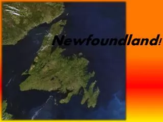
Island of Newfoundland Land Cover Classification 20m SPOT Ian Olthof Canada Centre for Remote Sensing November 22, 2012
NTS 011P Full Dataset • 100m GeoTIFF overview • 150 clusters • Classification • 20m GeoTIFF NTS sheets • 150 clusters • Classification • KML files: NTS sheets