Download
1 / 14
140 likes | 215 Vues
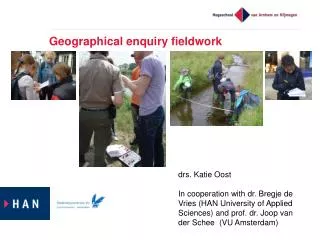
Thursday 11 th April. Fieldwork to develop deeper geographical understanding. Shelley Monk OCR geography Subject Advisor. Aims – GCSE focus.

E N D
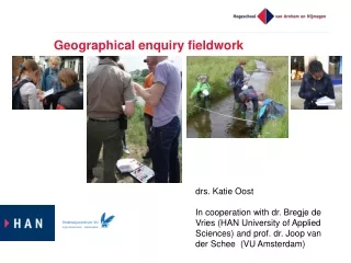
Thursday 11th April Fieldwork to develop deeper geographical understanding Shelley Monk OCR geography Subject Advisor
Aims – GCSE focus This interactive session will look at developing geographical understanding through actively using key terminology and exploring the fieldwork location to enable learners to make experiential connections to place. It will explore fieldwork in relation to the enquiry approach, effective geographical questions, embedding knowledge and understanding 'in the field' and encouraging learners to 'critically reflect'.
Fieldwork reflections Activity 1 How do you design your fieldwork – what factors do you consider? How much do you embed fieldwork into the curriculum / topic areas? What do you do prior to the fieldwork visit? How do you prepare students?
What does fieldwork offer? Explore and contextualise topic areas and case studies to develop a deeper understanding Go in search of evidence to answer geographical questions Challenge ‘expected’ outcomes Use geographical terminology in context Engage with a ‘place’ / geographical location ‘Real life’ geography interrogating questions, concepts, processes, data ….. Consolidating or learning ‘new’ skills Lots of fun and opportunities for skill development.
What does research say? Remmen and Frøyland (2014) Evidence suggests that ‘students who actively engage with phenomena outdoors develop deeper cognitive and affective learning’ ‘being actively involved in one’s own learning process can promote inquiry-based learning’ Oost et al. (2011) Proposed that inquiry-driven fieldwork can potentially lead to a deep approach to learning: ‘A deep approach to learning is recognized when students are motivated and try to understand the meaning of the content by connecting new ideas to prior learning and by connecting specific examples to theoretical ideas and everyday life.’
Enquiry approach Why use an enquiry approach? Encourages exploration, discovery, thinking, questioning, reflection and analysis Encourages learners to take ownership of their learning and understanding Encourages learners to engage, collaborate and problem solve Fieldwork skill from the GCSE specifications: ‘Reflecting critically on fieldwork data, methods used, conclusions drawn and knowledge gained’ This goes beyond students simply writing about what they did ….. (AO3 – application of knowledge and understanding) http://galileo.org/wp-content/uploads/2012/10/inquiry_lc.png
Experiential Learning - Kolb ‘Learning is the process whereby knowledge is created through the transformation of experience’ (Kolb 1984)
Activity 2 ‘Examining’ Fieldwork Let’s start here! How can we create opportunities for student’s to do this?
GCSE B – Distinctive Landscapes How can we embed and create a deeper understanding of this topic through fieldwork?
Coasts case study - ‘flipping fieldwork’ Virtual fieldwork (before you go!) Awe and wonder, developing a ‘sense of place’, real world geography Holderness coastal erosion – GIS opportunities What do you notice about the shape of the coastline? What landforms can you identify? Which direction do you think long shore drift is travelling in? 3D map Why is the coastline not straight? Why do you think the grey stones are on the beach? Historic map Why is the coastline not in the same place? How much has the coastline ‘moved’? Can you work out where this is?
Embedding fieldwork learning and skills Activity 3 Where are the opportunities for fieldwork? What can you ‘facilitate’ to bring ‘this place to life’? How can you develop geographical language? GCSE A Topic: People of the UK
Fieldwork: points for reflection Choosing a fieldwork experience with potential to support topic content: Embed key terms in context Develop and extend understanding Depth and place specific detail developed for case studies Learner ownership of the fieldwork experience e.g. choice of title, data collection (design) and sampling Flexibility of approaches to data presentation and analysis techniques – what works well for the ‘data’ gathered? Why choose those approaches over others? Being an ‘evaluative geographer’ – wording within questions e.g. ‘most’ successful, ‘most’ effective, to what extent, justifications / reasoning (for choices).
Do get in touch…….. Geography Subject Advisor – Shelley Monk