Download
1 / 41
410 likes | 553 Vues
Tampa Walk-Bike Plan Phase III: New Tampa & Green ARTery “Perimeter” Trail. Walk/Bike Plan Overview. Implement Comprehensive Plan and Long Range Transportation Plan Business Centers Urban Villages Mixed-Use Corridor Villages Primary Transit Corridors/Facilities

E N D
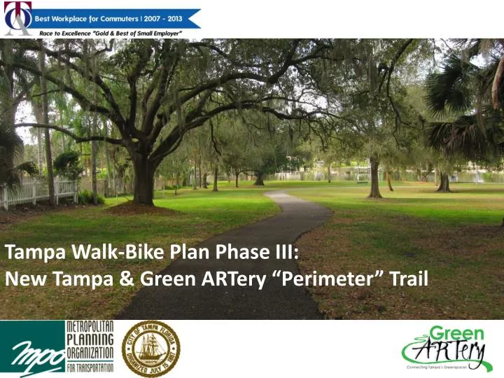
Tampa Walk-Bike Plan Phase III: New Tampa &Green ARTery “Perimeter” Trail
Walk/Bike Plan Overview • Implement Comprehensive Plan and Long Range Transportation Plan • Business Centers • Urban Villages • Mixed-Use Corridor Villages • Primary Transit Corridors/Facilities • Develop Multimodal “Grid” • Identify Constructible Projects
Three Phases • Phase I Focus: • Downtown • USF Area • Westshore • Phase II Focus: • South Tampa • Central Tampa • Phase III: • New Tampa • GreenARTery
Phased Projects Phase I Projects Phase II Projects
Phased I & II Focus on Commuters • Generally Adults • More Confident Cyclists • Preference for On-Street Bike Facilities • Preference for Travel along Collector and Minor Arterial Roadways e.g.: • North Boulevard • Columbus Drive • 34th Street • Etc… • Develop City-wide Grid
Candidate Project Types • Complete Sidewalk Connections • Enhance Major Roadway Crossings • Off-Road Trails • Marked Bike Lanes • Shared Lane Arrows • Side paths • Road Diets • Roadway Enhancements
Walk/Bike III: New Tampa • New Tampa: • Review Network • Identify Opportunities • Consider Trail Connections
Walk/Bike III: Green ARTery • Green Artery “Perimeter” Trail: • Central Tampa Loop • Recreational and Novice Users • Connect Neighborhood Assets • Methods include: • Bike Boulevards • Linear Parks • Multi-Use Paths
Facility Types Multi-Use Path Neighborhood Greenway Park Trail Trailheads
Multi-Use Path • For all users including pedestrians, cyclists, dog-walkers, families, etc. • Appropriate along routes with higher traffic volumes and speeds • Provide physical barrier between path and vehicular traffic
Park Trail • Wide pathway that goes through city parks or other green spaces • Will connect Central Tampa’s natural resources (especially Hillsborough River) • Create awareness to green assets • Create unique recreational experience
Neighborhood Greenway • Also known as a “bike boulevard” • Typical neighborhood street with appropriate safety and traffic conditions for cyclists • Marked by sign postings and traffic calming treatments • Drivers slow down and have a greater awareness for cyclists, or choose a different route
Trailheads • Identify the trail and provide public access • Include park structures, kayak launches, bike parking facilities, outdoor seating, public art and water taxi facilities. • Strategically located so the trail is highly visible throughout the city. • Provide a community hub for neighborhoods throughout Central Tampa.
Facility Types Multi-Use Path Neighborhood Greenway • Advantages • Bikes and pedestrians out of the roadway • Lessens “NIMBY” concerns (allows for trail to be aligned along larger roads rather than neighborhood streets) • Does not impact neighborhood traffic patterns • Challenges • Cost of 8 – 12ft pathway construction (including potential drainage impacts) • Does not help to implement neighborhood traffic Calming • Bikes riding against traffic along trail are at higher risk of side-street/driveway traffic conflicts • Advantages • Lower cost • Reduced thru traffic and speeds on neighborhood streets • 2-way stop signs allow bikes to continue along trail at minor intersections • Aligns trail along lower-speed/lower-volume neighborhood streets • Challenges • Traffic may need to be diverted at intersections • Traffic calming treatments may reduce convenience for residents • Bikes in roadway must share space with cars driving to/from homes • “NIMBY” concerns since trail uses neighborhood streets
Green ARTery Proposed Alignment Undercrossing at Dr. Martin Luther King, Jr. Blvd 1 4 Park Trail at Ignacio Haya Linear Park 2 3 3 Trail Head at Hillsborough Avenue 2 1 Multi-Use Path at North 30th Street 4 5 Multi-Use Path at Bermuda Boulevard 5
Green ARTery Public Workshops • Four workshops (February, March, April, May) • Study area neighborhoods are mixed • February 27th workshop complete – hosted at Tampa Prep • Next workshop is March 27th 6:30 – 8:00 at the Rogers Park Club House
Your Polling Device Use these buttons to make your selections…
Polling Questions How would you use the Green ARTery Trail? (Choose three). • Access Downtown amenities/events • Access Transit • Commute to work • Exercise • Access neighborhood and City parks • Daily shopping trips • Taking the kids to school • Visiting neighbors
Polling Questions How would you use the Green ARTeryTrail most often? (Choose One). • Walking • Jogging • Cycling
Polling Questions How often would you use the Green ARTery Trail? (Choose one). • Never • A few times a year • Monthly • Weekly • Daily
Polling Questions Several additional loops are proposed for incorporation in the Trail. Which would be top priority? (Choose one). 2 3 • Inner loop through Seminole Heights to Lowry Park • Outer loop through Rowlett Park and Temple Crest • Boardwalk along river in Rogers Park • MacKay Bay trail loop 1 4
Polling Questions When we have the option to use either a Multi-Use Path or a Neighborhood Greenway to complete a section of the trail, the following questions will help determine which option may be preferred. Neighborhood Greenway Multi-Use Path
Polling Questions You feel most comfortable riding your bike on… (Choose two). • The sidewalk along any street • A wide trail next to a major road • A wide trail next to a neighborhood street • A dead end neighborhood street • A bike lane on a neighborhood street • A bike lane on a major road
Polling Questions You feel most comfortable walking, running, or participating in other recreation on… (Choose two). • The sidewalk along any street • A wide trail next to a major road • A wide trail next to a local street • The street on a dead end neighborhood street • The shoulder of a low speed local street • The shoulder of a higher speed highway
Polling Questions Which of the following effort is most important? (Choose one). • Keeping bikes and pedestrians out of traffic in high speed streets. • Keeping bikes and pedestrians out of traffic in local neighborhood streets (lower speed). • Keeping bikes and pedestrians out of traffic on any street. • Making streets safe for bikes and pedestrians to be in the street.
Polling Questions At existing City parks or new trail heads, what are the most important features/amenities to provide (Choose five). • Parking • Transit Connections • Picnic Tables/BBQ Grills, etc. • Restrooms • Wi-Fi • Canoe/Kayak Launch • Water Taxi Stop • Bike Rental • Vendor Opportunities (hot dog stand, etc.) • Playground Equipment
Polling Questions What are the greatest hurdles to implementation of the Green ARTery Perimeter Trail? (Choose three). • Neighborhood Support • Political Support • Funding • Safety crossing major roads • Safety along busy roads • Security
Group Activity • PART I: Assets and Issues • On your table maps you will mark: • Assets: places that you love and feel should be highlights of the Perimeter Trail • Issues: places that could cause problems for users of the Perimeter Trail • PART II: Prioritization • As a group, identify your top 5 assets and your top 5 issues on the flip charts provided. • Present these to the entire group
Assets/Opportunities • Trails • Daycares • Dog parks • YMCA (teenage hangout) • Connects parks • Water taxi, • Downtown/Riverwalk/Waterworks Park • Seminole heights commercial • Zoo (family oriented) • Ybor and Channelside • Nice waterfront areas • Connect to Bayshore
Issues/Challenges • Traffic safety • More people in quiet neighborhoods • Personal security • Industrial land uses • Getting people invovled • Funding
Question? Contact: Michele Ogilvie Demian Milleror Chris Keller Hillsborough MPO Tindale-Oliver & Associates Inc. (813) 273-3774 x317 (813) 224-8862 OgilvieM@plancom.orgDMiller@tindaleoliver.com or CKeller@tindaleoliver.com Links: http://www.hillsboroughmpo.org/pubmaps/pubmaps_folders/walk-bike-plans-studies/walk-bike-plan/ http://www.greenartery.com/