Download
1 / 5
50 likes | 150 Vues
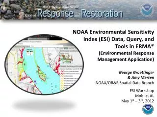
ERMA is a web-based mapping application that aggregates diverse spacial datasets, integrating static layers with real-time data streams like weather and ship tracking. It stores, queries, and displays spatially referenced data sets, ensuring compatibility with other GIS applications. ERMA provides quick access to relevant data for responders, improving communication and coordination.

E N D
ERMA (Environmental Response Management Application) • Data platform that seamlessly aggregates diverse spacial datasets into a web-based mapping application • Incorporates static layers along with real-time steams of data (e.g., weather, tides, ship tracking) into a fast, user-friendly GIS • Designed to store, query, and display spacially referenced data sets
ERMA • Application based on Open Source software that ensures compatibility with other commercial and open source GIS applications • Provides command post and field responders ready access to responder relevant data • Helps provide common operational picture
Concept for ERMA Open Source, Web-based mapping tools Planning & Analysis Integrate & Analyze Information On the fly Improved Communication & Coordination