Conservation Information System
The Conservation Information System (CIS) aims to provide accessible, quality spatial information to support landscape-scale conservation planning. CIS focuses on creating a simple, efficient, and adaptable system that meets the evolving needs of various projects and stakeholder priorities. By integrating multiple spatial layers, the system enables users to analyze and visualize natural values in their context, ensuring data curation for future use. Ultimately, CIS is designed to empower better decision-making in conservation efforts.

Conservation Information System
E N D
Presentation Transcript
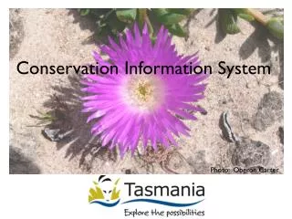
Conservation Information System Photo: Oberon Carter
Goal of the CIS The Conservation Information System (CIS) aims to provide access to quality spatial information to inform conservation planning at the landscape scale • Conservation Information System
Needs (specifications for CIS) • Need a simple, accessible and efficient system • Moving toward landscape-scale approaches • Need to be flexible to cater for changing priorities, and to recognise the needs of different projects • Need to curate data so that it can be used in the future • Conservation Information System
Inputs • Client projects can provide spatial layers to the CIS that address their conservation priorities CIS Metadata Business Rules Metadata Business Rules • Conservation Information System
Integrated Data Product • Questions need to be asked of many layers simultaneously • Concentration of natural values of interest • Also context –tenure, NRM region, bioregion • Combine many spatial layers into a simple, integrated data product • Conservation Information System
Integrated Data Product Input spatial layer Fine-scale grid (Layers are combined in here) Coarse-scale grid framework (For efficient front-end or users without raster capability) Different levels of complexity and access • Conservation Information System
Layers currently in the CIS • Conservation Information System