Testing Spatial Methods in SQL Server: Strategies and Data Management Techniques
This paper presents a comprehensive approach to testing spatial methods in SQL Server 11.0. It covers strategies for verifying input data, along with methods for testing geographical and geometrical data. Key techniques include using exact and approximate equality checks, identity cases, and data generators tailored for specific testing requirements. The goal is to minimize steps in bug reproduction, making it easier to identify and resolve issues within large spatial datasets. Contact details for the authors are provided for further inquiries.

Testing Spatial Methods in SQL Server: Strategies and Data Management Techniques
E N D
Presentation Transcript
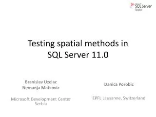
Testing spatial methods in SQL Server 11.0 BranislavUzelac Nemanja Matkovic Microsoft Development Center Serbia DanicaPorobic EPFL Lausanne, Switzerland
Introduction to Spatial • Geometry • Geography
Testing strategy at a glance Input Data Verification methods Testing methods World data Reference library “Exact equal” Transformed World data Static cases “Approximate equal” Identity cases Generated Data Repro minimization Minimize File a bug!
Data generators • Objects tailored for specific aspects of testing
Testing strategy Identity formula = = = A / B = B / A = u • Mathematical identities A B
Minimization of bug repro steps • Large objects may have thousands of points • Hard to analyze and pinpoint the problem • Solution: minimize!
Minimization of bug repro steps • Success rate
Questions? • More on spatial: http://www.microsoft.com/sqlserver/2008/en/us/spatial-data.aspx • Contact authors • BranislavUzelac, bruzel@microsoft.com • Nemanja Matkovic, nemanjam@microsoft.com • DanicaPorobic, danica.porobic@epfl.ch