Download
1 / 21
Activities at the Louisiana Spatial Reference Center
210 likes | 356 Vues
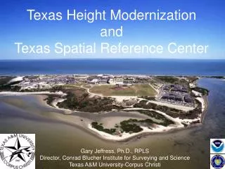
NOAA told the U.S. Congress in 2001 that the system used to measure elevations in LA was,. Gulf Coast: A vulnerable landscape with a constantly changing landscape. ?inaccurate and obsolete and unable tosupport public safety." . . Bad vertical control affects levees, planning, evacuation roads, FEM
Télécharger la présentation 
Activities at the Louisiana Spatial Reference Center
An Image/Link below is provided (as is) to download presentation
Download Policy: Content on the Website is provided to you AS IS for your information and personal use and may not be sold / licensed / shared on other websites without getting consent from its author.
Content is provided to you AS IS for your information and personal use only.
Download presentation by click this link.
While downloading, if for some reason you are not able to download a presentation, the publisher may have deleted the file from their server.
During download, if you can't get a presentation, the file might be deleted by the publisher.
E N D
Presentation Transcript


More Related