Download
1 / 1
10 likes | 118 Vues
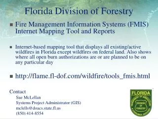
Explore the Division of Forestry's Fire Management Information Systems (FMIS) internet mapping tool to see live updates of active wildfires in Florida, along with locations of open burn authorizations. Stay informed and prepared with this valuable resource.

E N D
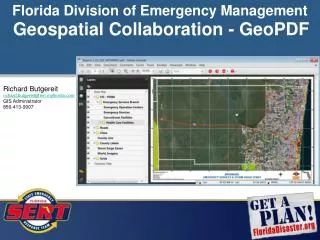
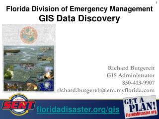
Florida Division of Forestry • Fire Management Information Systems (FMIS) Internet Mapping Tool and Reports • Internet-based mapping tool that displays all existing/active wildfires in Florida except wildfires on federal land. Also shows where all open burn authorizations are or are planned to be on any particular day • http://flame.fl-dof.com/wildfire/tools_fmis.html Contact Sue McLellan Systems Project Administrator (GIS) mclells@doacs.state.fl.us (850) 414-8554