Download
1 / 29
361 likes | 447 Vues
Discover the RIBASIM modeling platform for efficient river basin planning in Turkey. Analyze water availability, impact of allocation, optimize infrastructure, and quantify scenarios for sustainable water management.

E N D
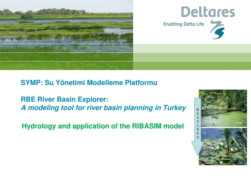
SYMP: Su YönetimiModellemePlatformuRBE River Basin Explorer: A modeling tool for river basin planning in Turkey Hydrology and application of the RIBASIM model
RIBASIM River Basin Explorer WFDexplorer Export Import Cases Water balance Concentrations, EQR, Scores
Workflow of modelling activities Hydrology 0D-RIBASIM Water Quality DELWAQ – Steady state Ecology Knowledge rules GIS maps Networks Meteo Flow Species EQR EKF Loads Substances Processes
Objectives of use of RIBASIM • To analyze water availability and water demand • To quantify impact of water allocation under scarcity on different water using activities (irrigation, hydropower, public water supply, environmental flows) • To optimize operation of existing infrastructure (dams, pumps) • To quantify impact of socio-economic and climate scenarios • To quantify impact of investment in new infrastructure • To prepare a consistent water balance for analysis of water quality
Objective of use of RIBASIM in this project • To prepare the hydrological input for the WFD Explorer : • Flow through all the WFD water bodies • In a dry, a wet and a normal year • On a quarterly basis • Used in WFD Explorer: • To calculate transport of pollutants • To assess difference between natural and artificial flow regime
Differences from most model applications • Time scale (results quarterly instead of hourly to monthly) • Accuracy (flow pattern is important not the actual discharge or water level) • Looking backward in time (the analysis is historical and can be based entirely on flow observations) • Initially limited time input. The hydrological modelling may later be extended for other purposes.
RIBASIM • Generic modeling software for water resources management • Used world-wide by Deltares and numerous governmental agencies, research institutes and consultancy companies • Currently licensed software, being converted to freeware and finally open source (as all Deltares software) • Application of RIBASIM combines: • RIBASIM software • Network schematization of river basin • Data on objects in schematization • Time series on hydro-meteorological parameters • Flow data from hydrologic model or monitoring data
RIBASIM model • Period from October 2003 till September 2011 • Time step one month • Cindere reservoir removed from schematization, because residence time smaller than one month • Calculation for actual situation and natural flow regime (without dams and water use) • Assumed each reservoir only supplies the nearest downstream irrigation area (no coordination) • Results presented as graphs of monthly and quarterly flows
Results RIBASIM – station E07A006 • Most downstream monitoring station with data for a number of years • Much better calibration results than in mission 3, especially for dry years • Low flows 2004 and 2005 underestimated • Peak in 2006 overestimated • Most likely from limited information on operation rules • Natural flow much higher, especially during peak flow
Results RIBASIM – station E07A034 • Very good calibration results • More limited difference between artificial and natural flow regime
Results RIBASIM – station D07A015 • Calibration result not so good • Lots of zero flow in monitored flow • Use of monitored time series leads to unrealistic results downstream • Monitored time series replaced by runoff depth calculated for Adiguzul Reservoir
Results RIBASIM – station D07A061 • Calibration result not so good • Missing information operation rules Karacasu Reservoir
Results RIBASIM – station E07A036 • Average annual flow simulated correctly • Much more seasonal dynamics in simulation than in measurement • Missing information on operation rules for outflow Isikli Lake
Results RIBASIM – station D07A115 • Flow in Buyuk Menderes just downstream of Cindere Reservoir completely dictated by irrigation water demand • Natural flow reduced in some years and increased on others by dam operation • Timing of peak flow changed from winter to summer • Very low flow in winter
Results RIBASIM – station E07A012 • Flow in Buyuk Menderes downstream of Cindere Reservoir dictated by irrigation water demand • Natural flow reduced and timing of peak flow changed from winter to summer
Conclusions • RIBASIM model results are adequate for use in WFD Explorer • Results for upstream tributaries can differ significantly from reality due to use of data from other catchments • Coverage and quality of flow monitoring can be improved. Quality of inflow records for reservoirs is good • Assumption that reservoirs are operated to supply only the nearest downstream irrigation area seems valid. There is potential to optimise reservoir operation & storage in the basin by coordinating reservoir releases
Possible improvements RIBASIM model • Reduce time step to half a month and include Cindere Reservoir • Add data on all irrigation areas, at least the irrigated area • Add data on hydropower generation and demand; • Collect data on monthly inflow, outflow and levels of all reservoirs for better calibration • Collect operation rules for all reservoirs to know in what circumstances water will be released and adapt from these the reservoir input in RIBASIM.
Recommendations • Improve discharge monitoring by more continuous monitoring at the same location and better data validation • Reduce effort required for data collection by sharing data in a central system, such as the Turkish National Water Information System under development • Apply RIBASIM to improve water allocation by coordinated operation of reservoirs • Improve understanding of the hydrology of the Buyuk Menderes by applying a distributed hydrologic model, such as Wflow • Use WFlow results to improve the RIBASIM model • Apply RIBASIM to analyze and improve water resources management in BuyukMenderes basin balancing the demands of irrigation, hydropower, public and industrial water supply, water quality and ecology • Apply Wflow-RIBASIM to assess the impact of climate change and socio-economic scenarios