Visualizing Crustal Strain Using GPS Velocities
Explore how GPS velocities from a triangle of sites can be utilized to investigate crustal strain. Learn to define, visualize, and analyze strain components with graphical representations.

Visualizing Crustal Strain Using GPS Velocities
E N D
Presentation Transcript
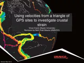
Using velocities from a triangle of GPS sites to investigate crustal strainVince Cronin (Baylor University)Revisions by Beth Pratt-Sitaula (UNAVCO) 1 Version Mar 2013
Graphical visualization of crustal strain defined by GPS velocities 2
Graphical visualization of crustal strain defined by GPS velocities Locate three non-colinear GPS sites 3
Graphical visualization of crustal strain defined by GPS velocities E-W and N-S components of sites’ velocities 4
Graphical visualization of crustal strain defined by GPS velocities E-W + N-S components = total horizontal velocity of site 5
Graphical visualization of crustal strain defined by GPS velocities Total horizontal velocities of the three sites 6
Graphical visualization of crustal strain defined by GPS velocities Define the triangle between the GPS sites 7
Graphical visualization of crustal strain defined by GPS velocities Define the centroid of the triangle 8
Graphical visualization of crustal strain defined by GPS velocities Transform coordinate system to a new origin at the centroid of the triangle 9
Graphical visualization of crustal strain defined by GPS velocities Inscribe a circle at the center of the undeformed triangle 10
Graphical visualization of crustal strain defined by GPS velocities The average of the three total site velocities is the translation vector 11
Graphical visualization of crustal strain defined by GPS velocities The triangle deforms as each of the sites moves. The vector from the centroid of the undeformed triangle to the centroid of the deformed triangle is the same as the horizontal translation vector. 12
Graphical visualization of crustal strain defined by GPS velocities Subtracting the translation vector from the site velocities brings the two triangle centroids together. 13
Graphical visualization of crustal strain defined by GPS velocities Subtracting the translation vector from the site velocities brings the two triangle centroids together. 14
Graphical visualization of crustal strain defined by GPS velocities The total site velocities minus the translation vector yields the site vectors associated with the change in shape of the triangle. 15
Graphical visualization of crustal strain defined by GPS velocities The red line is the major axis of the horizontal strain ellipse, and the blue line is the minor axis 16
Graphical visualization of crustal strain defined by GPS velocities The ellipse axes remain perpendicular to each other when the strain is reversed. 17
Graphical visualization of crustal strain defined by GPS velocities Superimposing the deformed triangle and the original triangle allows us to recognize the rotation during deformation. 18
Graphical visualization of crustal strain defined by GPS velocities The rotational component of strain is indicated by the angular change in the orientation of the red lines. 19
Graphical visualization of crustal strain defined by GPS velocities (3 supplemental slides follow...) 20
Graphical visualization of crustal strain defined by GPS velocities The total site velocities minus the translation vector yields the site vectors associated with the change in shape of the triangle. 21
Graphical visualization of crustal strain defined by GPS velocities The total site velocities minus the translation vector yields the site vectors associated with the change in shape of the triangle. 22
Graphical visualization of crustal strain defined by GPS velocities The total site velocities minus the translation vector yields the site vectors associated with the change in shape of the triangle. 23