Understanding Sensor Flags and Test Definitions in Data Streams
This discussion delves into the concepts of sensor flags and test definitions, emphasizing their roles in data streams, particularly through GetObservation requests. We explore the intricacies of data dictionaries, specifically the Q2O (Query to Observation) dictionary, and wave implementation details from the MVCO (Multi-Variable Coastal Observatory) dictionary. Additionally, this discussion touches on the practicalities of using bounding boxes in relation to geographical data (latitude, longitude, elevation) and compares SensorML with GML. It invites contemplation on the feasibility of implementing these concepts in a shop setting.

Understanding Sensor Flags and Test Definitions in Data Streams
E N D
Presentation Transcript
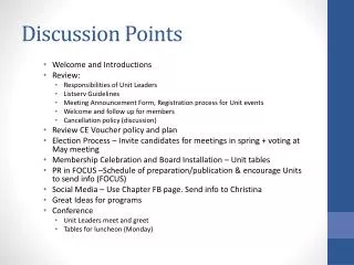
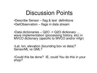
Discussion Points Describe Sensor – flag & test definitions GetObservation – flags in data stream Data dictionaries – Q2O -> Q2O dictionary … wave implementation (processing history, etc) in MVCO dictionary (specific to MVCO and/or mfgr) Lat, lon, elevation (bounding box vs data)? SensorML vs GML? Could this be done? IE, could You do this in your shop?