Trimble UX5 Demo
Trimble UX5 Demo. March 2014. Nick Nydegger GIS Systems Manager State of Idaho Military Division Idaho Army National Guard nicholas.c.nydegger.nfg@mail.mil 208-272-4182. Overview. Demonstration March 18, 2014 Orchard Combat Training Center – Range 3 Put Together by:

Trimble UX5 Demo
E N D
Presentation Transcript
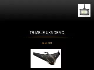
Trimble UX5 Demo March 2014
Nick Nydegger GIS Systems Manager State of Idaho Military Division Idaho Army National Guard nicholas.c.nydegger.nfg@mail.mil 208-272-4182
Overview • Demonstration March 18, 2014 • Orchard Combat Training Center – Range 3 • Put Together by: • GIS Systems, IDARNG • Electronic Data Systems – Jerome, ID • Trimble Navigation Ltd. (Manufacturer)
Overview Con’t • Very Windy and Cold At the OCTC • Sustained Winds in Excess of 20 mph • Range 2 Weather Station Shows 18- 26 mph Winds • Day Split into 3 Parts • Pre-flight Information and Training – Boise Conference Center • OCTC Flight Range 3 • Post Flight Data Processing and Workflow – Boise Conference Center
Overview Con’t • All Three Phases of the Day Were Successful • This Was Great “put it to the test” Day… • Conditions Were Not Ideal. • Data Collection and Processing Completed Successfully • Approximately 75 Personnel Attended • The System Has an Automated Pre-planned Flight Path Consisting of Flight Lines
Workflow • Pre-flight Planning and Systems Load • They Did This in a Few Minutes and Re-adjusted in the Field To Aid in Wind Problems • Flight – Data Collection • First Try Died On the Vine – 15 Minutes To Reset • Second Try – Data Collection Complete Less Than 15 Minutes • Data Processing Workflow • First Functional Data Visible Less Than 90 Minutes
Data Collected • The Area of Interest (AOI) Was 32 Acres • UX5 Collected 320 Images Over the AOI • 6 Ground Control Points Were Placed Prior To the Flight. GPS Positions Were Done With New Centimeter Grade Equipment (Trimble Geo7 Series) • Automated Data Process Workflow Kicked Out Mosaicked Single Image Products.
Data Products • 320 Individual Images • Single Mosaicked Color Balanced Image of Complete Area • Digital Surface Model (DSM) – This is an elevation model derive from stereo paired imagery type process – grid and tif formats • 17 Million Elevation Points – las and txt formats
Derived Products • Clipped Mosaic Image – removes edges • Hillshade of AOI – to help human evaluation • Contours • Lets Look at Some Product….
Summary • This is good technology • Cost effective collection of data for multi-purpose - multiple times • Rapid data delivery • Rapid assessment construction sites • Range placement • Natural and Cultural resource applications • Disaster Assessment, Response, Mitigation • Situational Awareness • This type of vehicle is what we see as the predominant UAV after they are formally certified for use by the FAA.