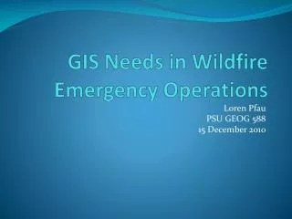
GIS Needs in Wildfire Emergency Operations
80 likes | 212 Vues
Wildfires pose significant challenges to emergency operations, as they impact lives and property across vast areas. In 2010 alone, over 66,000 fires burned millions of acres in the U.S., exemplified by the Fourmile Canyon fire's devastation. Current GIS implementations primarily follow a traditional, command-and-control model, which limits situational awareness. This overview advocates for integrating social media data into GIS frameworks to improve response efforts. Recommendations stress the importance of adapting strategies for diverse users and emphasizing flexibility in data collection and communication during wildfire events.

GIS Needs in Wildfire Emergency Operations
E N D
Presentation Transcript
GIS Needs in Wildfire Emergency Operations Loren Pfau PSU GEOG 588 15 December 2010
Overview • Introduction • Background • Research • Data Needs of Selected Parties • Recommendations
Background • Wildfires are major annual events in the US • National Interagency Fire Center Statistics • 10-year Average of 72,775 fires impacting 6.39 Milling acres • 2010 through 26 November experienced 66,315 fires impacting 6.39 Million acres • The FourmileCanyon fire that occurred west of Boulder, CO in September 2010 destroyed 169 homes and caused an estimated $217 Million in damages • Wildfires are challenging emergency operations • Difficult to predict • Fast-moving, long-lasting • Span multiple jurisdictions and agencies • Potential for significant risks to lives and property
Research Findings • Current use of GIS in wildfire operations are highly traditional in nature • Top-down, command & control model • National Wildfire Coordinating Group Standard: “GIS Standard Operating Procedures on Incidents” • Challenge: current layers needed for situational awareness • Social media sources are becoming significant • SDSU research • But there are limitations • The challenge, and opportunity, is to bridge the two
Citizen Mashup- Fourmile Canyon Fire Ramsay, Adam. “Social Media Helps with the Boulder Fire.” 9 September 2010. Retrieved on 12 December 2010 from: http://www.examiner.com/online-media-in-denver/social-media-helps-with-the-boulder-fire
Data Needs of Selected Parties • Emergency Management • NIMS / ICS • Field Crews • Law Enforcement • General Public • Media
Recommendations • New generations of GIS for wildfire management need to take into account social media applications • Both for making information available to the public and as a means of acquiring information from the public • Systems design needs to • Take into account nontraditional users • Plan for flexibility • During wildfire emergencies devote resources to non-traditional GIS tasks such as identifying and monitoring social media sites and traditional media outlets