Download
1 / 17
180 likes | 268 Vues
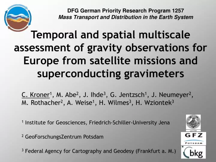
DFG German Priority Research Program 1257 Mass Transport and Distribution in the Earth System. Temporal and spatial multiscale assessment of gravity observations for Europe from satellite missions and superconducting gravimeters.

E N D
DFG German Priority Research Program 1257 Mass Transport and Distribution in the Earth System Temporal and spatial multiscale assessment of gravity observations for Europe from satellite missions and superconducting gravimeters C. Kroner1, M. Abe2, J. Ihde3, G. Jentzsch1, J. Neumeyer2, M. Rothacher2, A. Weise1, H. Wilmes3, H. Wziontek3 1 Institute for Geosciences, Friedrich-Schiller-University Jena 2 GeoForschungsZentrum Potsdam 3 Federal Agency for Cartography and Geodesy (Frankfurt a. M.)
Objectives • Validation of satellite-derived temporal gravity variations by comparison with terrestrial observations deploying superconducting and absolute gravimeters • Improvement of modeling of continental water storage for Europe based on terrestrial and satellite-derived gravity field changes related to first phase:
Network of superconducting gravimeters • superconducting gravimeters • high resolution • high long-term stability • European stations selected • data available for period of GRACE mission • present station cluster • good knowledge of influence factors • good data quality • AG observations available • mostly equipped with permanent GPS GMT
Tasks • to prove, SG data reflect large-scale gravity variations • ‚regionalization‘ allowed • Homogenization of data processing • reprocessing according to fixed criteria • from GPS information on possible vertical deformations • drift assessment and calibration by repeated AG measurements
Tasks • consistent combination of satellite and terrestrial data • extraction of hydrological signal in gravity data • separation of local and regional hydrological effects in SG observations • reduction of further signals in SG data • comparison of hydrologically-induced gravity effects based on hydrological modeling with observations
Challenges • different scales of observations • satellites: • temporal: monthly solutions (in future weekly?) • spatial: 500 – 2000 km • superconducting gravimeters: • temporal: 1s - 10s – data • spatial: „point observations“
Consistent combination Terrestrial gravity data • characteristics of terrestrial gravity observations • SG: • continuous • high resolution • drift • AG: • absolut • episodic • higher noise level
Consistent combination Terrestrial gravity data combination of SG and AG measurements: Bad Homburg, before 10 5 0 -5 µGal 7 (Wziontek, 2007)
Consistent combination Terrestrial gravity data combination of SG and AG measurements: Bad Homburg, after 5 0 -5 -10 µGal µGal 7 res (Wziontek, 2007)
Consistent combination Terrestrial gravity data combination of SG and AG measurements: Wettzell, before 15 10 5 0 -5 -10 µGal 7 (Wziontek, 2007)
Consistent combination Terrestrial gravity data combination of SG and AG measurements: Wettzell, after 15 10 5 0 -5 -10 µGal µGal 7 res (Wziontek, 2007)
Comparison GRACE – SG – hydrological models (Neumeyer et al., 2007)
Comparison GRACE – SG – hydrological models (Kroner, Naujoks, Krause, Neumeyer et al., 2007) Moxa / Germany 5 4 3 2 1 0 -1 -2 -3 -4 -5 gravity [µgal]
Conclusions • combination of AG and SG observations • important information on instrumental properties • reliable, high-precision gravity time series available • global hydrology: • principle agreement between SG and GRACE observations as well as with hydrological models • certain discrepancies • reduction of local hydrological effects in terrestrial observations possible
What next? • continuation of data sets • incorporation of GPS data for geometrical information • improved local hydrological reduction for all SG stations • EOF analyses • comparison with hydrological model for Europe?
Thank you for your attention!
5 4 3 2 1 0 -1 -2 -3 -4 -5 Comparison GRACE – SG – hydrological models Reduction of local hydrological effects: Moxa based on hydrological model J2000 (Krause, 2001) (Kroner, Naujoks, Krause, Neumeyer et al., 2007)