Ancient civilizations map activity
Ancient civilizations map activity. Political maps lesson plan. Good morning!. Please write today’s agenda in your planner Keep it open until I come around and stamp it Sit quietly until I am able to play a video for you. Warm Up Questions:

Ancient civilizations map activity
E N D
Presentation Transcript
Ancient civilizations map activity Political maps lesson plan
Good morning! • Please write today’s agenda in your planner • Keep it open until I come around and stamp it • Sit quietly until I am able to play a video for you Warm Up Questions: What are some similarities among each of the four civilizations? How do you think this helped each civilization survive? Why do you think each of these civilizations is not here today?
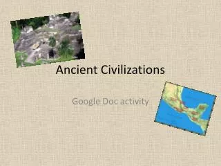
Map activity • You will create a layered map of some important ancient civilizations • Using your textbook, you will freehand draw the boundaries of these ancient civilizations • You will use the printed map as your guide • You will use one piece of tracing paper for each civilization • You MUST use a different color for each civilization in order for them to show through the various layers of tracing paper • When all 12 layers are completed, you will stack them over the printed map to see a visual representation of each ancient civilization and where they ruled
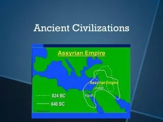
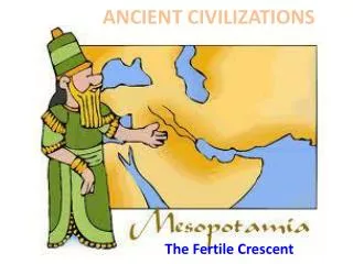
Ancient empires • Babylonian (map on printout) • Egyptian (map on page 62) • Israelites (map on page 90) • Assyrian (map on page 28) • Athens/Sparta (map on page 125) • Persian (map on page132) • Greek under Alexander the Great (map on page 176) • Mauryan (map on page 210) • Qin (map on page 241) • Roman (map on page 293) • Han (map on page 241) • Gupta (map on page 213)
Ancient cities • Plot the following cities on the printed map in the correct location: • Athens • Sparta • Rome • Jerusalem • Xian • Beijing • Carthage • Mecca • Medina • Byzantium/Constantinople • Londinium • Kathmandu • Mumbai • Memphis • Thebes • Babylon • Niniveh • Persepolis • Alexandria • Pella
Critical thinking activity • Read the directions on your handout carefully and follow instructions • The first set of directions asks you to create a timeline. It should look something like this: 3500BC3000BC 2500BC 2000BC 1500BC 1000BC 500BC 1AD