URBISAMAZÔNIA: Extensive Urbanization in Amazon Region
90 likes | 174 Vues
Explore the concept of extensive urbanization in the Amazon region through identifying spatial units of human occupation. Discover the nature of contemporary urban phenomena in Amazônia. This project delves into the multi-scale configuration of cities, places, and networks. Utilizing Landsat and CBERS multi-resolution data, spatial units like commercial areas, residential patterns, and unique settlements are mapped and analyzed. Fieldwork conducted in September 2010 led to the identification of diverse human occupation categories across various locations in the Brazilian Amazon. Understand the spatial organization and characteristics of different urban sectors in this vibrant region.

URBISAMAZÔNIA: Extensive Urbanization in Amazon Region
E N D
Presentation Transcript
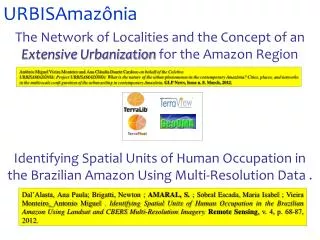
URBISAmazônia The Network of Localities and the Concept of an Extensive Urbanization for the Amazon Region Identifying Spatial Units of Human Occupation in the Brazilian Amazon Using Multi-Resolution Data . Antônio Miguel Vieira Monteiro and Ana Cláudia Duarte Cardoso on behalf of the Coletivo URBISAMAZÔNIA. Project URBISAMAZÔNIA: What is the nature of the urban phenomenon in the contemporary Amazônia? Cities, places, and networks in the multi-scale confi guration of the urban setting in contemporary Amazônia. GLP News. Issue n. 8. March, 2012. Dal’Alasta, Ana Paula; Brigatti, Newton ; AMARAL, S. ; Sobral Escada, Maria Isabel ; Vieira Monteiro, Antonio Miguel . Identifying Spatial Units of Human Occupation in the Brazilian Amazon Using Landsat and CBERS Multi-Resolution Imagery.Remote Sensing, v. 4, p. 68-87, 2012.
Field Work – Sepetember 2010 • Unidades espaciais de ocupação humana: • 1 associada a erosão do solo (falso positivo) • 23 núcleos com população associada; • 5 madeireiras • 4 sedes de fazenda • 2 pistas de pouso • 1 centro comunitário • 1 usina • 1 abrigo para gado • ** Setores especiais: vila militar (Itacimpasa)
Limit of the Spatial Units of Human Occupation obtained from Landsat TM for Novo Progresso over CBERS CCD/HRC fused image (A), and the Spatial Patterns Mapping (B).
Spatial Units of Human Occupation – Pop. Resident Categories of spatial units of human occupation mapped and evaluated during fieldwork A) Itaituba - central commercial area; B) Itaituba - sparse residential occupation; C) Santarém - residential area with wealthy construction pattern.
Spatial Units of Human Occupation – Cities and Communities Categories of spatial units of human occupation mapped and evaluated during fieldwork A) occupation of Belterra; B) American-style building - the school at Vila Bode.
Categories of spatial units of human occupation mapped and evaluated during fieldwork (A) a road with a commercial center, (B) commercial establishments, (C) a peripheral street, (D) sparse housing occupation and (E) housing on stilts (palafitas)
Categories of spatial units of human occupation mapped and evaluated during fieldwork • Taboca; (B) Aruri; (C) Nova Canaã.