
Synoptic-Scale Conditions Leading to Flooding in South Carolina: A Case Study of October 22-23, 1990
E N D
Presentation Transcript
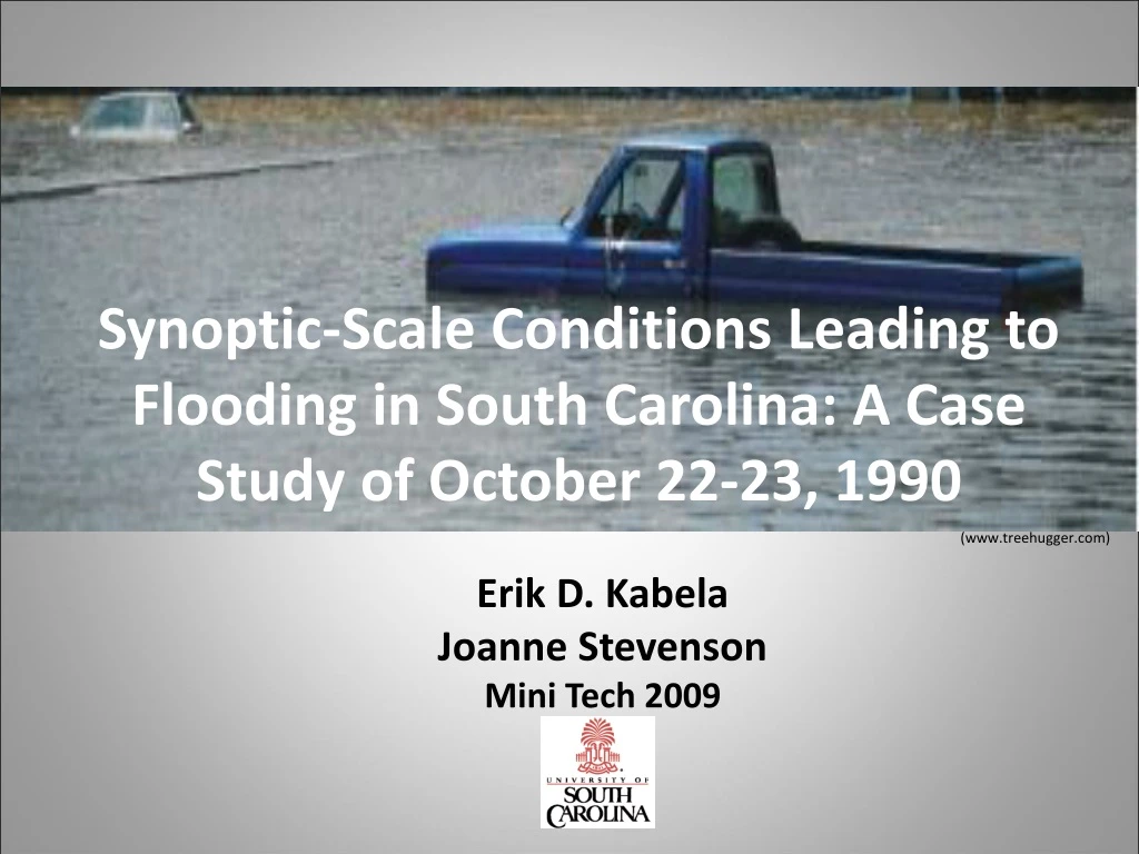
Synoptic-Scale Conditions Leading to Flooding in South Carolina: A Case Study of October 22-23, 1990 (www.treehugger.com) Erik D. Kabela Joanne Stevenson Mini Tech 2009
Objectives Illustrate the effects on society (public/private property damage, evacuations, loss of life, etc) of this event. Link Maddox's (1979)* definition of a synoptic flash flooding event with October 22-23, 1990 event Determine which of the 5 heavy rain event set-ups identified by Konrad (1997)** fits with this event Enhance the understanding and application of pattern recognition in heavy rain and flood forecasting *Maddox, R. A., Chappell, C. F. and L. R. Hoxit, 1979. Synoptic and Meso-α Scale Aspects of Flash Flood Events. Bull. of the Amer. Meteor. Soc. , 60 (2), 115-123. **Konrad II, C. E., 1997. Synoptic-Scale Features Associated with Warm Season Heavy Rainfall over the Interior Southeastern United States. Wea. Forcasting, 12, 557-571.
Methods • Archives • The State, Greenville News, Aiken County Standard, The New York Times • SHELDUS • Web interfaces: • NCDC - NOMADS • Plymouth State University -Plot generation interface • NOAA - National Severe Storms Laboratory • NOAA – Daily Weather Maps • USGS – Water Resources Data (Maddox et al., 1979)
Flooding Impacts • SC hit by disintegrating Hurricane Klaus and Tropical Storm Marco (Oct. 8-14) • Up to 15” of rain • Damage of $3-8 million, several thousand evacuations, 120 dam failures, 5 deaths • Cold front moved through (Oct.22) • Day and a half of nearly continuous rainfall on already stressed hydro system • 11 counties receive Presidential Disaster Declarations (PDDs) • >1,400 registrations for temporary housing, recovery of lost property, or repairs • >$10 m of aid administered by federal government (NOAA,http://www.hpc.ncep.noaa.gov/tropical/rain/marcoklaus1990.html)
Pre-Exisiting Conditions Flood Stage
Heavy Rain/Flood Definition • According to Konrad (1997) • At least 2 inches in a 6 hour period • Break in between hourly precipitation could not exceed 2 hours
Components of a Maddox Synoptic-Type Flood Event • Quasi-stationary or slow moving weak cold front • Ample low-level moisture • Usually greater than 60°F surface dew point • 500mb strong short-wave trough • Ample mid-level moisture • Dew point depression of <= 6°C
Maddox Ideal vs. Oct 23 00Z Surface Map Td = 70 Td = 70
Comparison to Konrad – Type 2 Key Contributions Include: • Slow moving cold front • Type 2 typically occurs during the transition season • Ample low- and mid-level moisture • Low-level convergence • Located NW of heavy rain • Upper-level divergence • Strong 500mb Vorticity Max • Strong mean 850-200mb winds (>21 m/s) from the SW • Strong instability using the K-Index • 850mb warm-air advection • Rain cells develop in “echo train” pattern
Ample Mid and Low-Level Moisture • 700Mb mixing ratio of greater than 7 g/kg • Surface precipitable water of greater than 1.5 inches (38.1 mm)
Low-level Convergence • Low-level convergence max to the NW of the heavy precipitation
200mb Divergence • Upper-level divergence promotes upward motion • Heavy Rain area located over the left exit region of jet
500mb Vorticity Maximum • Heavy rain located to the right of vorticity max
850 – 200mb Winds • Mean 850 to 200mb winds blowing parallel to surface boundary • Mean 850 to 200mb wind speed ≈24m/s
Instability with the K-Index • K-Index between 28 and 32 • Corresponds to roughly 40-60% chance of showers and thunderstorms
850mb Warm-Air Advection • 850mb WWA promotes low-level rising motion
Conclusions • Pre-existing stream conditions lead to increased potential for flooding on Oct 22-23 • Flooding event of Oct. 22-23, 1990 fits classification of Maddox synoptic-type flood • Flooding event further broken down into a Konrad Pattern 2 heavy rain event • Provides a basis for using climatological studies for use in everyday forecasting • Can prove useful for operational forecasters as well as emergency managers