Innovative High Altitude Balloon Imaging for Enhanced Resolution
110 likes | 127 Vues
Explore the use of high altitude balloon platforms for super resolution imaging. Utilize infrared equipment with cutting-edge technology for thermal data collection. Analyze results to enhance resolution algorithms and address urban heat island issues. Future work includes refining algorithms and data comparison for advanced imaging techniques.

Innovative High Altitude Balloon Imaging for Enhanced Resolution
E N D
Presentation Transcript
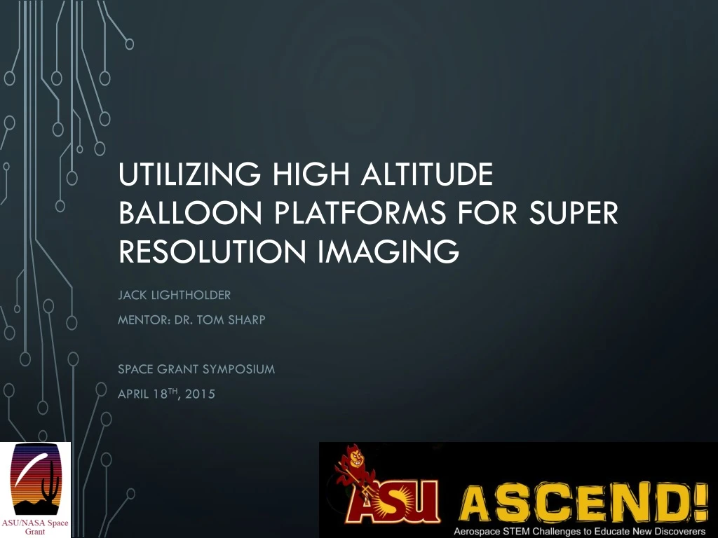
Utilizing High Altitude Balloon Platforms for Super Resolution Imaging Jack lightholder Mentor: DR. tom sharp Space grant Symposium April 18th, 2015
objectives • Enhance super resolution imaging algorithms. • Collect thermal images of population centers and agricultural areas. • Test infrared sensing depth from near space. • Capture thermal data of high altitude payloads. April 18, 2015
Technologyapplications • Satellite resolution enhancement. • Reduction of the urban heat island. • Simplified data set for algorithmic enhancement. • New high altitude balloon instrumentation capabilities. April 18, 2015
Infrared equipment • 36º Field of View • Fixed Focus • Resolution: 206 x 156 Array • -40C to 330C Detection • Long Wave Infrared 7.2 – 13 Microns Combined Imaging Vs. Thermal Standalone April 18, 2015
approach • Two phase approach for cost reduction and technology verification. • Phase 1 • Single camera system – depth and resolution testing • Visual/IR combined imaging system • Verify feasibility of high altitude IR measurements • Phase 2 • Dual camera system – precision data set development • Standalone IR dataset with relative reference visual cameras. • Incorporate precision pointing technologies. April 18, 2015
Payloads • Fall 2014 • Carbon fiber shell with acrylic endcaps • 2 visual cameras • FLIR camera (FLIR ONE) • Geiger counter • UV sensor • Accelerometer/gyroscope/altimeter • 2.75 lbs. • Spring 2015 • Carbon fiber shell with acrylic endcaps • 7 visual cameras • 2 FLIR cameras (Seek thermal) • 3D printed alignment bracket • 2 android smartphones • 2.88 lbs. April 18, 2015
results • Temperature VariationFollowing Ground Shadows • Ground temperature variation consistent with sun angle and obstruction shadowing. • Agricultural Field Differentiation • Varied heat signatures from fields containing different crops. April 18, 2015
results High altitude depth verification • Contrast between cold near space payload & hot ground surface. Foreground and background precision • Local accuracy of object’s expected temperatures at both low and high altitudes. April 18, 2015
Results • Successful data collection of city centers & agricultural fields • Successful imaging of near space payloads • Verified high altitude sensing depth of off the shelf IR cameras • Failed to produce stereo dataset capable of being super resolved April 18, 2015
Future work • Eliminate smartphone fault issues • Collect overlapping standalone IR datasets. • Compare existing super resolution imaging algorithms. • Test potential enhancements to existing algorithms. • Incorporate overlapping visual spectrum images for computational comparison. • Quantify ground features and their impact on the urban heat island. Smartphone protective housing. April 18, 2015
Thank you! Questions?