Download
1 / 9
90 likes | 202 Vues
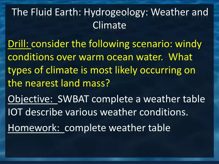
The Fluid Earth: Hydrogeology: Weather and Climate. Drill : consider the following scenario: windy conditions over warm ocean water. What types of climate is most likely occurring on the nearest land mass? Objective: SWBAT complete a weather table IOT describe various weather conditions.

E N D
The Fluid Earth: Hydrogeology: Weather and Climate Drill: consider the following scenario: windy conditions over warm ocean water. What types of climate is most likely occurring on the nearest land mass? Objective: SWBAT complete a weather table IOT describe various weather conditions. Homework: complete weather table
Reading Strategies Beginning: Preview your reading. Predict what you think you will learn/read about. During: Record key information Type of weather (description) Weather symbol After: class discussion of main ideas and concepts
Analyzing Fronts • Air Mass: a large body of air having characteristics of temperature, moisture, and pressure that are approximately uniform horizontally. • Front: a boundary between two masses of air of different densities;cause of significant weather.
Front A guide to the symbols for weather fronts that may be found on a weather map: #1 cold front; #2 warm front; #3 stationary front; #4 occluded front; #5 surface trough; #6 squall/shear line; #7 dry line; #8 tropical wave
Beaufort Wind Scale • Observation Miles Per Hour • Smoke goes straight up. 0-1 • Smoke drifts with the wind. 1-3 • Leaves rustle. You can feel wind on your face. 4-7 • Leaves and twigs move. 8-12 Flags wave. • Small branches sway. 13-18 • Small trees sway. 19-24 Ripples on water. • Large branches sway. It is hard to hold an umbrella. 25-31 • Large trees sway. It is hard to walk in the wind 32-38 • Twigs break off trees. 39-46 • Branches break. Shingles may be blown off buildings. 47-54 • Trees are uprooted. There may be major damage to buildings 55-63 • There is widespread damage. 64-75 • There is extreme damage and destruction. Over 75
Summary and Exit Ticket • Take a look at your weather table, what type of weather would the following bring; • Cold Front • Warm Front • High Pressure System