Download
1 / 8
80 likes | 253 Vues
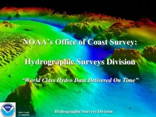
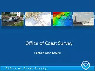
Office of Coast Survey update to the Hydrographic Services Review Panel. Captain John Lowell October 13, 2010. Coast Survey FY10 metrics. * acquired by NOAA and contractors # goal is parity with suite of 1,000 paper charts. Hassler Update. NOAA is in possession

E N D
Office of Coast Surveyupdate to the Hydrographic Services Review Panel Captain John Lowell October 13, 2010
Coast Survey FY10 metrics * acquired by NOAA and contractors # goal is parity with suite of 1,000 paper charts
Hassler Update NOAA is in possession Contract with Halter Marine terminated for default Anticipating April 2011 certification by ABS and approval by USCG Additional shipyard work in late 2011 Hassler should be ready for the 2012 hydrographic field season
Assisting Maine fishing communities • 16 men lost in vessel sinkings over 5 years • Coast Survey conducted sidescans last November, located wreck of All American • In April, Senators Collins and Snowe asked for “full bottom survey” • NRT 5 arrived in June, will complete multibeam survey by November
Hydrographic and cartographic experts contributed to BP spill response
Sponsoring marine safety effort Alliance members: United States Power Squadron C-MAP by Jeppesen BoatU.S. Sea Tow Foundation OceanGrafix • In a poll: • Only 36% respondents “are concerned about the accuracy of the data used for navigation” enough that they “update navigational data regularly. • Keeping navigational aids up-to-date is not a priority to most recreational mariners. • Awareness and purchase of update data is low, as is the use of LNMs. www.allianceforsafenavigation.org
Making progress in the Arctic • Fairweather surveyed Bering Straits around Cape Prince of Wales • 674 SNM of hydrographic data acquired in the Arctic in 2010 Marine Chart Division preparing an Arctic Nautical Charting Plan
Joining the new Arctic Regional Hydrographic Commission U.S. delegation, October 6, 2010 Canada, Denmark, Norway, Russia, United States