Download
1 / 8
80 likes | 216 Vues
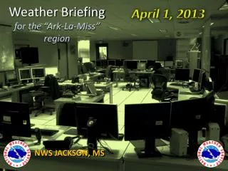
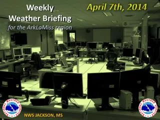
April 7th, 2014. Weekly Weather Briefing for the ArkLaMiss region. NWS JACKSON, MS. Overview. April 5 th – 7th Heavy Rain/Severe Event Review Ongoing Flooding/River Flooding Issues Limited Strong to Severe storm risk on Tuesday – All Areas

E N D
April 7th, 2014 Weekly Weather Briefingfor the ArkLaMiss region NWS JACKSON, MS
Overview • April 5th– 7th Heavy Rain/Severe Event Review • Ongoing Flooding/River Flooding Issues • LimitedStrong to Severe storm risk on Tuesday – All Areas • Quiet and Warming Conditions Wednesday into the Weekend • Next Rain & Thunderstorm chances probably holding off until next Sunday or Monday
Saturday Night through Sunday Night Heavy Rainfall FLOODING REPORTS LAST NIGHT INTO THIS MORNING (Monday morning) HAVE BEEN WIDESPREAD ACROSS A LARGE PORTION OF THE REGION WATER LEVELS SHOULD SLOWLY RECEDE OVER THE NEXT 24-48 HOURS IN MOST CASES…ALTHOUGH FLOODING DIRECTLY ASSOCIATED WITH LARGER RIVERS WILL LAST LONGER AS THESE LARGER RIVERS TAKE SOME TIME TO CREST
Preliminary SPC Reports SEVERE WEATHER (excluding flooding) REPORTS RECEIVED THUS FAR FROM SUNDAY NIGHT HAVE MAINLY BEEN CONFIED TO EAST CENTRAL AND SOUTHEASTERN PORTIONS OF MISSISSIPPI ***THESE REPORTS ARE PRELIMINARY AND SUBJECT TO ADJUSTMENT BEFORE BEING FINALIZED***
High River Stages RIVER POINTS IN FLOOD OR FORECAST TO GO TO FLOOD AS OF MIDDAY MONDAY LIMITED RAINFALL EXPECTED TUESDAY SHOULD HAVE VERY LITTLE TO NO IMPACT ON THESE FORECASTS
Late Weekend into Next Monday Current expectations are for next round of rain, some might be heavy, in the next Sunday/Monday time frame
Thanks for viewing NWS Jackson’s Multi-Media Weather Briefing! These briefings are usually given on Mondays and Thursdays. If you have any feedback or suggestions, please contact us at 601-936-2189 , or via Facebook at “US National Weather Service Jackson Mississippi”, or on Twitter @NWSJacksonMS