Download
1 / 35
350 likes | 440 Vues
This project aims to enhance taxi customer security by tracking taxis, preventing fare cheating, and providing tourist attraction advice. The system utilizes Intelligent Transportation Systems (ITS) technology and Vehicle-to-Infrastructure (V2I) communication to improve taxi services. Through GPS, GPRS/EDGE, RFID, SMS, and Google Maps API, the system offers real-time data exchange between taxi drivers, customers, and infrastructure. The system empowers taxi owners to monitor their fleet and helps tourists explore destinations efficiently.

E N D
Security Tracking and Advising for Taxi Customers Group Member TanapolEuaungkanakul 5088033 ChayaninMukviboonchai 5088239 ThanachitViriyayanyongsuk 5088245 Advisor Asst.Prof.Dr. VasakaVisoottiviseth
Introduction(cont.) • From ABAC Poll research center, in topic of “Opinion of people while using taxi”. • From 93% of people who live in Bangkok use taxi service.
Introduction(cont.) • 47% of people who use taxi service do not believe in security of taxi service. • The problem that occur when use taxi service.
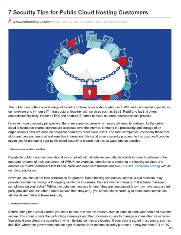
Introduction • Nowadays, most of people are unsatisfied with the service quality of the taxi. • Some taxi customers want to know information of tourist attraction around current area. • This system use concept of intelligent transport system(ITS) and vehicle to infrastructure(V2I).
Problem Statements • Taxi customers are not satisfied with the quality of taxi services. • Taxi customers were cheated fare. • Many tourists need more information about tourist attraction. • Taxi customers want to know news and information from infrastructures. • Some taxi drivers rent taxi to use improper way.
Objective • Tracking taxi for security of customers. • Prevent cheating fare. • Advise tourist attraction for taxi customers . • Department store or any institute can add their place and other details for attract tourists. • The taxi owners can view historical information of each taxi to prevent miss objective of renting.
LiteratureReviews • ITS stands for Intelligent Transportation Systems. • The main function of ITS is • try to enhance the quality of transportation • safety • mobility and • productivity through the use of advanced information and communications technologies.
LiteratureReviews • It is a broad range of wireless and wired communications-based information and electronics technologies that are integrated into transportation system and in vehicles themselves. • ITS systems are divided into intelligent infrastructure systems (V2I) and intelligent vehicle systems (V2V).
Vehicle-to-Vehicle Communication • Vehicle-to-Vehicle (V2V)communications is a dynamic wireless exchange of data among vehicles that are traveling in the same vicinity, which offers opportunities for significant safety improvements.
Vehicle to Vehicle Communication The COOPERATIVE DRIVING APPLICATIONS –For road safety are characterized by a complete reconstruction of the driving context - Using road environment in combination on-board sensors data and cooperative system information (ad-hoc vehicles net).
Vehicle-to-Infrastructure • V2I stands for vehicle to infrastructure communications. • A series of technologies directly linking road vehicles to their physical surroundings. • Allows vehicles to communicate with traffic signals over a combination of WiFi and 3G mobile. • The signals send out timing information to cars that then provide messages to drivers to help them optimize their driving so that they don't have to stop as often. • It also intended primarily to commercial businesses such as department store , while also enabling a wide range of other environmental benefits.
Technologies In Use • GPS– Global Positioning System • This device able to get exact position on the Earth anytime, in any weather, anywhere. • Four primary functions • Position and coordinates. • The distance and direction between points. • Velocity. • Accurate time measurement.
Technology In Use(cont.) • GPRS/EDGE – General Packet Radio Service • Mobile data service use for commutate between user clients and main server. • This technology allow data transmissions overair interface via mobile network.
Technology In Use(cont.) • RFID – Radio-frequency identification • Technology that uses radio waves to identify an object. • Two types of RFID Tag • Passive (Short range, No battery) • Active (Longer range, Need battery) • SMS – Short Message Service • Use for sending short message to the mobile phone. • Google maps API • This API provide the map plotting tools and the map data from Google Maps. • Server Based Processing • Most of raw data will be sent to server for processing and sent the useful information back to client.
Technology In Use(cont.) • Nectec’sG-Box • G-Box is a Embedded System with GPS and GPRS Modules. • Use Open Source Software • Can read ECU Data