Advancing Open Government and Geospatial Initiatives in the U.S.: Insights from Dr. Bethany Nowviskie
170 likes | 296 Vues
This article explores the key developments in open government and national spatial data initiatives in the United States, focusing on Dr. Bethany Nowviskie's contributions. It highlights the role of the Federal Geographic Data Committee (FGDC), the National Map, and other pivotal projects such as the National Atlas and the Geospatial One-Stop. The discussion includes the collaboration between professional societies, universities, and funding agencies to enhance scholarly communication in digital humanities and geospatial science.

Advancing Open Government and Geospatial Initiatives in the U.S.: Insights from Dr. Bethany Nowviskie
E N D
Presentation Transcript
related developments in the united states • dr. bethany nowviskie • 19 january 2010
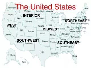
national spatial data initiative • the federal geographic data committee (fgdc) • the national map • the national atlas • united states board on geographic names • the geospatial one-stop • center of excellence for geospatial information science (cegis)
humanities gis • status of the visual • suitability of the software • suitability of the data • suitability of our scholarly communication system
sci conclusions • professional societies and (digital) humanities centers • university administration • scholarly publishers working together with scholars • public and private funding agencies
bethany@virginia.edu • bethany nowviskie, m.a. ed., ph.d. • director, digital research & scholarship • associate director, scholarly communication institute • university of virginia library