Download
1 / 10
110 likes | 323 Vues
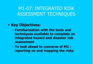
M1-07: INTEGRATED RISK ASSESSMENT TECHNIQUES. Key Objectives: Familiarization with the tools and techniques available to complete an integrated hazard and disaster risk assessment To look ahead to concerns of M2 : reporting on and mapping the risks. INTEGRATED RISK ASSESSMENT.

E N D
M1-07: INTEGRATED RISK ASSESSMENT TECHNIQUES • Key Objectives: • Familiarization with the tools and techniques available to complete an integrated hazard and disaster risk assessment • To look ahead to concerns of M2 : reporting on and mapping the risks
INTEGRATED RISK ASSESSMENT • Collection, analysis, and display of hazard & risk data using a common spatial framework • Multiple parameters/causative factors for a single hazard type • Need to integrate the contribution of individual parameters • Same area may face different hazards • May require to integrate the assessment of different hazard/vulnerabilities/risks for the same area • Development of a database system
ANALYSIS METHODS • Probabilistic • Deterministic • Informal & Subjective
TECHNIQUES • Identify/survey key parameters for each hazard (such as slope angle, soil/rock types & thickness, orientation of rock-beds) • Identify the relative contribution of various factors • Map the individual factors - depict on copies of base map to prepare hazard map (by overlay) • Overlay different Hazard Maps for the same area
TECHNIQUES • New technologies help to collect & manage increasingly complex data (satellite technology, GPS, scanners/digitizers, software) • Digital technologies permit increasingly complex analyses, database generation, & manipulation • But Ensure that: • Correct conceptual model • Data is complete, consistent, relevant & organized
MULTIPLE HAZARD MAPPING • Composite hazard mapping • Hazard/Risk Maps of Critical Facilities • Bandung Case Study & Exercise
HAZARD/RISK ASSESSMENT TECHNIQUES TO BE EMPLOYED DEPENDS UPON THE INTENDED LEVEL/PURPOSE OF USE