Download
1 / 12
120 likes | 255 Vues
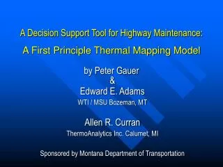
A Decision Support Tool for Highway Maintenance: A First Principle Thermal Mapping Model. by Peter Gauer. & Edward E. Adams WTI / MSU Bozeman, MT Allen R. Curran ThermoAnalytics Inc. Calumet, MI Sponsored by Montana Department of Transportation. Potential Benefits.

E N D
A Decision Support Tool for Highway Maintenance:A First Principle Thermal Mapping Model by Peter Gauer & Edward E. Adams WTI / MSU Bozeman, MT Allen R. Curran ThermoAnalytics Inc. Calumet, MI Sponsored by Montana Department of Transportation
PotentialBenefits • Information for Maintenance Decisions • De-Icing • Anti-Icing • Information for Public • Freeze Warning • Road Weather Conditions
Basic Physics • Surface Heat Budget • G (1 - ) • L + L • H • LE • QG • 0
Model Chain • Meteorological Input Data • Radiation (downward) • Wind Speed • Air Temperature • Relative Humidity • Precipitation Rate • ETA (40 km)
MELV MBZH I-90 Bozeman Pass (Test Area)
M [m/s] Meso-Scale Model I (Bozeman Area) Simulation were made using ARPS developed by the Center of Prediction and Analysis of Storms Wind field simulation for Bozeman Area 19/11/2000 19:00 UTC
G L [W/m2] [W/m2] M Ta [C] [m/s] Meso-Scale Model II (MBZH) Comparison between Simulation and Measurements: 05/12/2000-05/14/2000
WinTherm I (I-90 Rocky Canyon) Thermal Map Period 05/06/2000 06:00 MDT 05/08/2000 14:00 MDT Surface Temperature Tsfc Color Coded in C Temperature at MM319
Tsfc [C] WinTherm II (I-90 MM319) Comparison between 2 Simulations and Measurements
Tsfc [C] WinTherm III (I-90 MM319) Comparison between Simulation and Measurements
Concluding Remarks • A successful implementation of the thermal model chain can be a useful tactical decision support tool for winter highway management. • Coupled with a snowpack model, it can also be a tool to predicted snowpack stability and to forecast avalanche hazard threatening highway sections.
What need to be done further? • Meteo-Model (Improvement of the Meteorological Input Data for Wintherm): • Cloud Cover Modeling Radiation • Nesting: • Grid Resolution • Number Nesting Steps • Thermal Mapping • Grid Resolution • Adaptive Meshing for Critical Areas • Influence of Surface Properties • Albedo for Snow/Ice Covered Pavements • Melting, Icing, Sublimation, Condensation • etc.