Download
1 / 18
180 likes | 196 Vues
Learn about the versatile paver mounts that can be used for previous-night pre-pointing in astronomy observations. These mounts are sturdier than tripods and can easily point to high altitudes. They are useful for setting up telescopes and recording occultation events. Join us at the International Occultation Timing Association - Annual Meeting to learn more.

E N D
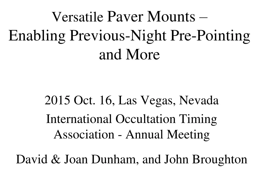
Versatile Paver Mounts – Enabling Previous-Night Pre-Pointingand More 2015 Oct. 16, Las Vegas, Nevada International Occultation Timing Association - Annual Meeting David & Joan Dunham, and John Broughton
Paver mount for previous night pre-pointing By John Broughton The large “hinge” mount fits over the 12” paving stone that can be left in a remote location during the day. John built 6 of them to use with all of my 80mm midi systems, and 2 for maxis. The mounts are sturdier than any tripod I’ve used, and can easily point to high altitudes. The mounts are actually “alt-alt” in orthogonal directions, effectively alt-az at low altitudes. A protractor can be used to pre-set to the target alt. & a laser pointer can be held against the rail, both useful for pointing
June 22, 10:06 UT, northern limit graze of 5.1-mag. 48 Leonis at cusp angle 6N by 31% sunlit Moon The path was only 30km north of Alice Springs. With only 1.5h of dark time, we set up 3 paver mounts the night before. The good profile promised good multiple events in a km-wide zone.
June 22, 10:06 UT, northern limit graze of 5.1-mag. 48 Leonis at cusp angle 6N by 31% sunlit Moon • 2-lane • north-south Stuart • Highway to Alice Springs (1 paved lane) The km-wide path was only 30km north of Alice Springs. With only 1.5h of dark time, we set up 3 paver mounts the night before.
June 22, 10:06 UT, northern limit graze of 5.1-mag. 48 Leonis at cusp angle 6N by 31% sunlit Moon A typical Google Map Streetview looking south in the graze zone. After our troubles re-finding scopes in the dark, we developed a way: Use coordinates from OW and GPS navigation to them Select intersecting street or other definite landmark, & if none, tape a reflective address number to the nearest road marker post Pace distances along & perpendicular to Hwy from the post or other landmark
June 22nd 48 Leonis graze stations,north to south 1 – previous night 80mm paver, successful 1a – same night 80mm tripod, successful 2 – prev. night 80mm paver, pre-pointing confirmed, but recorder failed to record 2a – 120mm on paver mount, not set up 2b – 10-in. reflector, not set up in time 3 – prev. night 80mm paver, pre-pointing wrong, no time to correct
June 22nd 48 Leonis graze results Sta. 1 - Long. 133d 50.5157' E, Lat. 23d 32.7553' S, h 727m [ZC 1549] D ZR 10:07:53 (UTC = ZR -2m 12s; ZR is camcorder clock time) R ZR 10:07:58 gradual D ZR 10:08:34 R ZR 10:09:08 gradual D ZR 10:09:11 F ZR 10:09:14 R ZR 10:09:37 Sta. 1a - Long. 133d 50.3800' E, Lat. 23d 32.7865' S, h 731m D ZR 10:04:54 gradual (UTC = ZR +40s) R ZR 10:04:55 D ZR 10:04:59 R ZR 10:05:09 gradual D ZR 10:05:30 R ZR 10:05:33 B ZR 10:05:35 D ZR 10:05:41 - These northern stations were in the best part of the profile R ZR 10:06:49 There was probably a north shift of about 100m
July 31, 10:23 UT, occultation of 10.3-mag. star by Bertholda Only 2h of dark time, so we set up 4 paver mounts the night before using the Guide pre-point charts provided by Ernie Iverson
July 31, 10:23 UT, occultation of 10.3-mag. star by Bertholda P – Paver mount, pre-pointed July 30 (night before) • Attended, focus tube came out, no obs. • No occultation recorded • Steve Kerr, no occultation recorded • - P, Animal attached equipment, no obs. • P, Misspointed • P, OCCULTATION RECORDED • P, Misspointed (star crossed corner early) • Richard Williamson, no occultation • Underlined, star recorded at right time
Programmable Remote for Timed Recordings Suggested by Steve Conard. Scotty found a “100% effective” system. Place transparent plastic tube (I believe made from 2 coin holders fastened together with Scotch tape; shown at foot of tripod) at bottom of the brown mailing bag in the background. After setting the programmable remote, place it pointing down at the tube at the bottom. Turn the Canon ZR camcorder to the VCR position with front end down facing the tube. If cold, add some hand warmers. 6 plastic tabs glued to the edges of the front of the remote, and the piece of cardboard held on with the rubber band, prevent the programmable remote from turning on, which happens whenever the screen is touched.
Station 4 Attacked! Probably by a dingo (their sense of smell is a billion times better than a human’s) but it may have been by a kangaroo.
July 31, 10:23 UT, occultation of 10.3-mag. star by Bertholda It was a lot of work with little gain, but at least with one positive, we have a reasonable idea where the shadow passed. It showed that we needed to be more careful with transporting the paver mounts, as subsequent tests confirmed.
Sept. 30, 11:59 UT, occultation of 6.3-mag. star by Galilea Port Hedland Brightest occ’n we tried, but patch of cloud predicted over path at Stuart Hwy (Marla), so we booked expensive flight to Port Hedland. No paver stones there, so we tested Corkboard, successful, but not as Accurate. Just before decision point The pred. patch shrank, so we can- Marla celled the flight & deployed on the Stuart Hwy s. from Kulgera. Then the pred. patch grew, & 9 other OW observers in NSW & NZ were clouded out.
Corkboard & Paver Stone Testing Corkboard pointing accurate to about ¼ midi FOV width; paver 0.1 FOV width
Sept. 30, 11:59 UT, occultation of 6.3-mag. star by Galilea Distance (Occult) Prob. Cloudy Station info. ---------------------------------------------------------------------- 85.3 km 15.8% == Right (Northern) limit plus 1-Sigma == 85.3 km @28° 15.8% battery failure (13) Remote 1 s. Kulgera 61.6 km @26° 35.1% scope problem (14) Remote 2 in SA s. Kulgera 47.4 km 49.4% - === Right (Northern) limit === 38.2 km @26° 58.4% didn't record (15) Remote 3 n. Marryat Ck. 19.8 km @27° 72.8% MISS RECORDED (16) Remote 4 n. Agnes Ck. 0.0 km 78.9% - ==== Centre Line ==== -3.9 km 78.6% off-pointed (10)n. of Indulkana central sta. -36.6 km 59.8% didn't record (17) Remote 5 n. of Marla -47.4 km 49.4% - === Left (Southern) limit === ** Above, 80mm pavers Sept. 29 pre-point ** ** Below, Sept. 30 pre-point with 2.5h of dark time ** -63.9 km 32.9% clouded out (18) Remote 7 near Wintinna -85.2 km 15.9% clouded out (19) Remote 8 s. Cadney Park -85.3 km 15.8% == Left (Southern) limit plus 1-Sigma == -109.1 km 5.2% MISS REC. (20) Attended 9 Mt. Willoughby Sta -123.2 km 2.3% == Left (Southern) limit plus 2-Sigma == -- So there was a south shift, but not as large as PPMX predicted – Very disappointing that there were no positives for this event Lesson learned – if you can afford it, go to the place with the best weather, not just “possibly good enough”