Download
1 / 18
180 likes | 310 Vues
This presentation from the 2008 Ohio GIS Conference delves into advanced techniques for floodplain mapping, featuring insights from GIS analysts Adam Daily, Bradford Hartley, and Adam Pooler of Stantec Consulting Services Inc. Key topics include the rectification of Flood Insurance Rate Maps (FIRM), digital terrain modeling using TINs, and automated processes for efficient floodplain delineation. The session emphasizes best practices in data organization, integration with FEMA mapping processes, and leveraging GIS for effective emergency management and community planning.

E N D
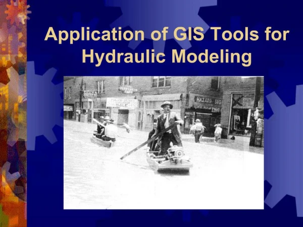
2008 Ohio GIS Conference September 10-12, 2008 Crowne Plaza North Hotel Columbus, Ohio Behind The Curtain: GIS and Floodplain Mapping Adam Daily, Bradford Hartley, &Adam Pooler GIS Analysts Stantec Consulting Services Inc.
Floodplain Delineation • Rectify Original Flood Insurance Rate Map (FIRM) • Digitize Cross Sections • Create Water Surface TIN • Create Ground TIN • Use Delineator
Rectify • Essential fields to have while rectifying • Transportation • Orthophotography • Find General Area • Use “Fit to Display”
Rectify (cont.) • Draw your “Links” • Fine tune your rectification using floodway structures such as bridges, dams, and Culverts.
Digitize Cross Sections & Attribute Lettered Cross Sections Extend Cross Sections
OLD verse NEW • Accuracy • Time/Automated process • Digital • Costs INSERT PIC
Created by PBS&J to streamline the DFIRM creation process Available to the general public Extension to ArcGIS Versions for 9.3 and ArcSDE enterprise geodatabase users www.pbsj.com or email floodmapdesktop@pbsj.com Flood Map Desktop
Flood Map Desktop • Non-dependant on MXDs • Multi-User Editing of Graphics (SDE not required) • Organize and control data and map layout • Advanced tools and options outside of DFIRM projects
Map Modernization Program • Digital seamless & nationwide maps and data layers • Best available data • Easily accessible data • Fully integrate FEMA’s state and local partners into the mapping process
Incorporate layers into planning process Permitting / Building development Economic Development Plans Emergency management planning Future conditions modeling Flood hazard mitigation Become a member of the NFIP Assess community needs and update standards Minimize risk such as repetitive loss structures Other uses separate from intended purposes Leveraging Map Mod Data