
Exploring Earth's Topography: Digital Mapping for Various Applications
E N D
Presentation Transcript
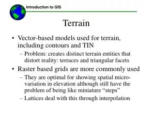
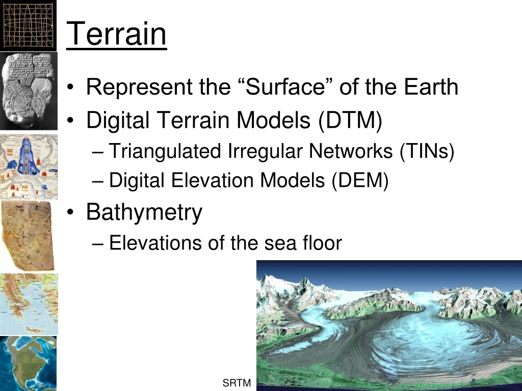
Terrain • Represent the “Surface” of the Earth • Digital Terrain Models (DTM) • Triangulated Irregular Networks (TINs) • Digital Elevation Models (DEM) • Bathymetry • Elevations of the sea floor SRTM
Applications • Roads, utilities, canals, housing… • Ecology/Ecosystem Studies • Flood Control • Agriculture • Soil Erosion http://www.datapointed.net/2009/11/the-steeps-of-san-francisco/
Data Collection • Surveys • Shuttle Rader Telemetry Mission (SRTM) • Elevations for the entire world at 30 meters • Light Detection and Ranging (LiDAR) • Much higher resolution
Tools • Color ramps: Visualization • Hill shades: Backgrounds • “3D” display: Visualization • Histogram: How much surface at each elevation range? • Contours: Topographic maps • Classification: Appropriate uses • Slope: How steep? • Aspect: Toward the sun? • Resample: Reduce artifacts • Stream paths • View sheds
Surveying • Differential GPS with Laser measuring • Can be < 1 cm • GSP • 10 to 30 meters
GTOPO 30 arc seconds ~ 1 kilometer NASA
SRTM • Shuttle Radar Telemetry Mission • 80% of the Earth’s surface • Vertical Accuracy < 20 meters • Horizontal Accuracy < 20 meters • Spatial Resolution ~ 30 meters • http://www2.jpl.nasa.gov/srtm/dataprod.htm#Gallery http://www2.jpl.nasa.gov/srtm/statistics.html
SRTM NASA
GTOPO To SRTM NASA
ETOPO – Global Relief 1 arc-minute ~ 2 kilimeters
LiDAR • Light Distance and Ranging redcrosspdx.blogspot.com
LiDAR • Lower Newton Creek