Download
1 / 30
300 likes | 301 Vues
This presentation discusses the "Vario-scale geo-information" project, focusing on the challenges and potential of multi-scale databases for map generalization. Topics include the use of scaleless data structures, spatial organization, and progressive transfer of details. The presentation also touches on the importance of semantic aspects, lower dimension primitives, fast slicing, label placement, and implementation/testing requirements.

E N D
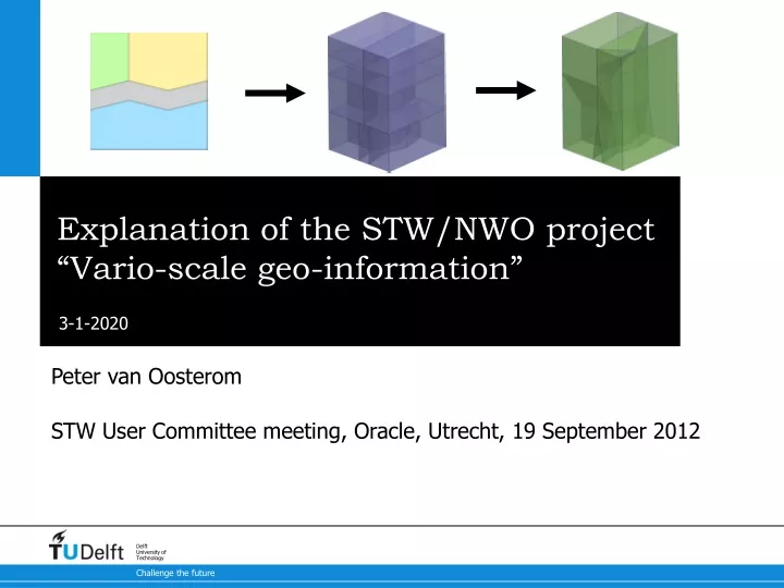
Explanation of the STW/NWO project “Vario-scale geo-information” Peter van Oosterom STW User Committee meeting, Oracle, Utrecht, 19 September 2012
Topographic map series and the art of map generalization Map fragments from different source scales enlarged to same ‘scale’ for content comparision
Multi-scale: a good option? • Multi-scale databases: often multiple representationdrawbacks: redundancy, fixed levels of detail potential inconsistent • Scaleless data structures: single representation with additional structure to access at any level of detail • Often also spatial organization (clustering/indexing) • Progressive transfer: keep sending more details(compare to raster formats: data pyramids, wavelets)
Step 0 a f 3 0.4 b 1 0.3 g i j e 5 0.35 l 2 0.4 h 4 0.5 6 0.2 k d c Importance(u) = Area(u)*Class-Weight(u) Comp(u,v) = Length(Bnd(u,v)) * Class-Similarity(u,v)
Step 1 a f 3 0.4 b 1 0.3 g i j e 5 0.35 l 7 0.5 h 4 0.5 d c
Step 1 blg a f 3 0.4 b 1 0.3 g i j e 5 0.35 l 7 0.5 h 4 0.5 d c
Step 2 m f 3 0.4 b g i j 5 0.35 8 0.6 l h 4 0.5 c
Step 2 blg m f 3 0.4 b g i j 5 0.35 8 0.6 l h 4 0.5 c
Step 3 m f 3 0.4 b n 8 0.6 9 0.6 h c
Step 3 blg m f 3 0.4 b n 8 0.6 9 0.6 h c
Step 4 m o 10 0.7 8 0.6 p
Step 4 blg m o 10 0.7 8 0.6 p
Step 5 q 11 0.9
Step 5 blg 11 0.9 q
4 11 (U) 2 4 8 (Y) 10 (U) 2 4 1 (X) 7 (Y) 3 (Z) 9 (U) 6 (W) 2 (Y) 5 (V) 4 (U) GAP face-tree
3 0.4 11 1 0.3 0.9 10 0.6 5 0.35 9 0.4 2 0.4 8 0.6 4 0.5 6 0.2 7 0.3 1 2 3 4 5 6 0.3 0.2 0.2 0.4 0.35 0.35 Resulting tGAP structure
3 0.4 11 9 0.6- 10 0.4-0.6 8 9 0.35-0.4 8 0.6 9 0.6 8 0.3-0.6 3 7 0.2-0.3 1 2 3 4 5 6 0-0.3 0-0.2 0-0.2 0-0.4 0-0.35 0-0.35 Use tGAP structure Selection of faces overlap search region & Importance = 0.38
tGAP principles • Variable scale: ‘near infinite’ amount of levels • Base level with most detailed geometry/topology • Create links/structure on top
Generalized Area Partitioning-tree a ‘3D view’ • Vermeij et al. 2003 proposed topological GAP-tree: edges and faces (with importance range, consider as height) scale/imp with 3D prisms
Support of non-area objects • Support for non-area objects fits in tGAP structure: • Points: own table with importance range • Lines: same but now with reference to BLG-repr. • Also combine 2 less important lines in 1 (e.g. after removal of least important branch) • This enables: the change from area to line (or point) representation at certain moment. Similar to normal GAP-structure when face is removed, but now it is also introduced in node or edge table (with link).
P1 P0 P3 P2 Other generalization operations • Consider collapsing of areas in lines (or points) • Compute skeleton (medial axis), connect to neighbors
Weighted skeleton Result fits in tGAP structure (Ai & van Oosterom, SDH’02 more: Meijers, Savino, van Oosterom’12 in preparation)
tGAP example 2 • Collapse road (split area, merge neighbours) • Delete forest (merge with farmland) • Simplify boundary (between water/farmland) 1 3
2D+scale 3D integrated • tGAP DAG to 3D structure • Parent-child: neighbour above-below
Smooth tGAP • Remove local shock no horizontal faces • Gradual changes less vertical faces • Resulting polyhedron representation of single object for all its scales
S=0.5 S=0 y x Non-flat slice mixed scale map(fish-eye example) source: Harrie et al, 2002, ISPRS Archives 34(4):237–242
The highly challenging project goals • Semantic aspect (incl. attributes) needs further attention • Lower dimension primitives (lines, points) do also fit in the structure, but need further investigations • Fast slicing, exploiting coherence between delta scale • Include label placement in smooth-zoom • Not per se object by object creation (but multiple objects in parallel) • Sliver before disappearing • Lot of implementing and testing needed (engineering)