U.S. Space Based PNT Policy
230 likes | 247 Vues
Explore the U.S. Space-Based PNT Policy and GPS programs status, emphasizing international cooperation and defense/civil benefits. Learn about augmentation programs, GPS constellations, and global GNSS objectives.

U.S. Space Based PNT Policy
E N D
Presentation Transcript
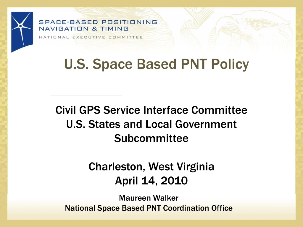
U.S. Space Based PNT Policy Civil GPS Service Interface Committee U.S. States and Local Government Subcommittee Charleston, West Virginia April 14, 2010 Maureen Walker National Space Based PNT Coordination Office
Overview • U.S. Space-Based PNT Policy • GPS & Augmentation Programs Status • International Cooperation Activities
Areas for Cooperation Multi-modal Air Maritime
U.S. Space-Based PNT Policy GOAL: Ensure the U.S. maintains space-based PNT services, augmentation, back-up, and service denial capabilities that… • Provide uninterrupted availability of PNT services • Meet growing national, homeland, economic security, and civil requirements, and scientific and commercial demands • Remain the pre-eminent military space-based PNT service • Continue to provide civil services that exceed or are competitive with foreign civil space-based PNT services and augmentation systems • Remain essential components of internationally accepted PNT services • Promote U.S. technological leadership in applications involving space-based PNT services 4
Defense Transportation State Interior NATIONALEXECUTIVE COMMITTEEFOR SPACE-BASED PNT Executive Steering Group Co-Chairs: Defense, Transportation ADVISORY BOARD Sponsor: NASA Agriculture Commerce NATIONAL COORDINATION OFFICE Host: Commerce Homeland Security Joint Chiefs of Staff NASA GPS International Working Group Chair: State Engineering Forum Co-Chairs: Defense, Transportation U.S. Space-Based PNT Organization Structure WHITE HOUSE Ad HocWorking Groups
U.S. Policy Promotes Global Use of GPS Technology • No direct user fees for civil GPS services • Provided on a continuous, worldwide basis • Open, public signal structures for all civil services • Promotes equal access for user equipment manufacturing, applications development, and value-added services • Encourages open, market-driven competition • Global compatibility and interoperability with GPS • Service improvements for civil, commercial, and scientific users worldwide • Protection of radionavigation spectrum from disruption and interference
Overview • U.S. Space-Based PNT Policy • GPS & Augmentation Programs Status • International Cooperation Activities
GPS Constellation Status 30 Operational Satellites(Baseline Constellation: 24) • 11 Block IIA • 12 Block IIR • 7 Block IIR-M • Transmitting new second civil signal • 1 GPS IIR-M in on-orbit testing • 3 additional satellites in residual status • Next launch: IIF ~ June 2010 • Global GPS civil service performance commitment met continuously since December 1993
Increasing System Capabilities w Increasing Defense / Civil Benefit GPS Modernization Program Block IIA/IIR Block IIR-M, IIF Block III • Basic GPS • Standard Service • Single frequency (L1) • Coarse acquisition (C/A) code navigation • Precise Service • Y-Code (L1Y & L2Y) • Y-Code navigation • IIR-M: IIA/IIR capabilities plus • 2nd civil signal (L2C) • M-Code (L1M & L2M) • IIF: IIR-M capability plus • 3rd civil signal (L5) • Anti-jam flex power • Backward compatibility • 4th civil signal (L1C) • Increased accuracy • Increased anti-jam power • Assured availability • Navigation surety • Controlled integrity • Increased security • System survivability
Intelsat 133°W Telesat 107°W WAAS Architecture 38 Reference Stations 3 Master Stations 4 Ground Earth Stations 4F3 98° W (2+1) Geostationary Satellite Links 2 Operational Control Centers
Agana, Guam LAAS/GBAS International Efforts Rio De Janeiro, Brazil Malaga, Spain Sydney, Australia Frankfurt, Germany Bremen, Germany
Overview 14 U.S. Space-Based PNT Policy GPS & Augmentation Programs Status International Cooperation Activities
Satellite-Based Augmentations WAAS (2+1) MSAS (2) EGNOS (3) GAGAN (2) SDCM (2) Planned GNSS • Global Constellations • GPS (24+) • GLONASS (30) • Galileo (27+3) • Compass (30 global and 5 regional satellites) • GINS - Global Indian Navigation System (24) • Regional Constellations • QZSS (3) • IRNSS (7)
U.S. Objectives in Working with Other GNSS Service Providers • Ensure compatibility ― ability of U.S. and non-U.S. space-based PNT services to be used separately or together without interfering with each individual service or signal • Radio frequency compatibility • Spectral separation between M-code and other signals • Achieve interoperability – ability of civil U.S. and non-U.S. space-based PNT services to be used together to provide the user better capabilities than would be achieved by relying solely on one service or signal • Primary focus on the common L1C and L5 signals • Ensure a level playing field in the global marketplace Pursue through Bi-lateral and Multi-lateral Cooperation
U.S. - Europe Cooperation • 2004 U.S.-EU agreement provides foundation for cooperation • Four working groups were set up under the agreement: • Technical, trade, next generation systems and security working groups • Improved new civil signal (MBOC) adopted in July 2007 • Second Plenary Meeting April 19-22, 2010 in Brussels Signing ceremony for GPS-Galileo Cooperation Joint Statement, Oct. 23, 2008 (Michel Bosco, European Commission; Kenneth Hodgkins, U.S. Department of State) Oct. 22, 2008 , EU-U.S. Plenary delegations meeting under the auspices of the GPS-Galileo Cooperation Agreement
Additional Bilateral Cooperation U.S.-Japan Joint Statement on GPS Cooperation in 1998 Japan’s Quasi Zenith Satellite System (QZSS) designed to be fully compatible and highly interoperable with GPS Bilateral agreements to set up QZSS monitoring stations in Hawaii and Guam. Guam station completed! U.S.-Russia Joint Statement issued in Dec. 2004 Negotiations for a U.S.-Russia Agreement on satellite navigation cooperation underway since late 2005 Working Groups on compatibility/interoperability, search and rescue U.S.-India Joint Statement on GNSS Coop. in 2007 Technical Meetings focused on GPS-India Regional Navigation Satellite System (IRNSS) compatibility and interoperability held in 2008 and 2009 18
International Committee on GNSS (ICG)& Providers Forum • ICG purpose: • Promote the use of GNSS and its integration into infrastructures, particularly in developing countries • Encourage compatibility and interoperability among global and regional systems • Members include: GNSS providers (U.S., EU, Russia, China, India, Japan), international organizations, and international associations • U.S. hosted ICG-3 at NASA JPL/Cal Tech in Pasadena, Dec. 8-12, 2008 • Russia hosted ICG-4 at St. Petersburg, Sep. 14-18, 2009 • Associated Providers Forum enables focused discussions on compatibility and interoperability, encouraging development of systems complimenting GPS • ICG-5 to be held in October 2010 in Turin, Italy
APEC GNSS Implementation Team (GIT) • Promote implementation of regional GNSS augmentation systems to enhance inter-modal transportation and recommend actions to be considered in the Asia Pacific Region • Reports to Transportation Working Group (TPT-WG) through the Inter-modal Experts Group (IEG) • Terms of Reference: • Facilitate GNSS applications to support seamless intermodal transportation to enhance safety, security, and sustainability. • Identify actions to facilitate and collaborate on implementation of GNSS applications for transportation in the APEC region, complementing the work of international organizations. • Provide a public/industry forum to address GNSS technologies related to transportation issues that will benefit the APEC region.
APEC (Continued) • US to host 14th Meeting of the GNSS Team June 21-24, 2010 in Seattle, Washington • Need for greater involvement of U.S. agencies and U.S. industry in APEC deliberations concerning GNSS technologies and implementation • Need to identify areas where GNSS could enhance the drive for greater GNSS interoperability and compatibility in the transport sector • Anticipate an industry round table as part of the Meeting; also welcoming non-government organizations, such as IGS, FIG and IAG • Seeking opportunities to use GNSS technology to increase energy efficiency, reduce congestion and enhance infrastructure
Summary • GPS performance is better than ever and will continue to improve • Augmentations enable even higher performance • New civil GPS signal available now • Many additional upgrades scheduled • U.S. policy encourages worldwide use of civil GPS and augmentations • International cooperation is a priority • Compatibility and interoperability very important
Maureen Walker Senior State Department Representative to the National Space-based Positioning, Navigation and Timing Coordination Office 202-482-5809 (office) Maureen.walker@pnt.gov pnt.gov gps.gov