Download
1 / 37
380 likes | 700 Vues
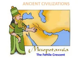
Geography of Ancient Civilizations. Mesopotamia. “Land between two rivers” What two rivers? Tigris and Euphrates Fertile Crescent Refers to the fertile region surrounding a collection of rivers in the Middle East Sumer First early civilization. Mesopotamia. Mesopotamia.

E N D
Mesopotamia • “Land between two rivers” • What two rivers? • Tigris and Euphrates • Fertile Crescent • Refers to the fertile region surrounding a collection of rivers in the Middle East • Sumer • First early civilization
Mesopotamia • Dealing with and exploiting the Tigris and Euphrates rivers • Irrigation • Trade • Early form of government • How/why does government first form?
Mesopotamia • Other Achievements • Ziggurats • Hammurabi’s Code • How did geography impact the development of Mesopotamian civilizations?
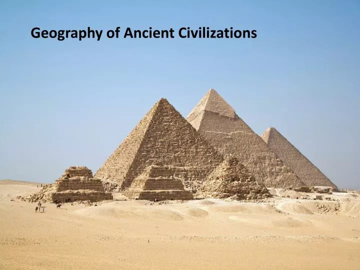
Ancient Egypt • The Nile River • Irrigation • Most of Egypt is desert so people settled along the banks of the Nile River • The Nile provided drinking water and water for irrigation • Why is Lower Egypt ‘higher’ than Upper Egypt?
Ancient Egypt • The Nile River • Agriculture • The Nile flooded regularly • Flooding deposited fertile silt along the banks of the Nile • The Three F’s!
Ancient Egypt • The Nile River • Trade • The Nile provided a natural highway for trade • Entire cities were created as a result of this trade network along the Nile River
Ancient Egypt • How did geography impact the development of Ancient Egypt?
Indus River Valley • Indus River • Ganges River • Subcontinent
Indus River Valley • The Indus River Valley is located on the Indian Subcontinent • Monsoon Season! • Indus Valley Civilizations had to adapt to the torrential rains that ravaged the subcontinent every year • What are some ways the population adapted?
Indus River Valley • Two major cities of the Indus River Valley • Harappa • Mohenjo-Daro • Large populations and areas with surpluses of food • Large granaries stored food during monsoon seasons
Indus River Valley • Mohenjo-Daro and Harappa • Grid-patterned cities • Indoor plumbing • Traders, farmers Layout of Indus city of Mohenjo-Daro
Indus River Valley • How are the Indus River Valley Civilizations impacted by their geography?
Yellow River and Yangzi River Valley • Geographic Isolation • Mountains • Deserts • Jungles • Oceans • Middle Kingdom • Having little contact with other cultures, the Chinese
Yellow River and Yangzi River Valley Civilizations • How are the Yellow River and Yangzi River Valley Civilizations impacted by their geography?
West African Kingdoms • West African Natural Resources • Gold! • Salt! • Why would these resources be important? • What problem do traders in West Africa face?
West African Kingdoms • How are the West African Kingdoms impacted by their geography?
Geographic Feature Effects Greek Geography United parts of Greece; sea trade was important as Greece had few natural resources. Sea Land Mountains made transportation, communication among cities difficult; small, independent communities developed; poor resources spurred growth of colonies; poor food production limited population growth. Climate Moderate climate allowed for an outdoor lifestyle, open-air discussions.
Composition of the Roman Republic • Senate • 300 Patricians • Consul • 2 Patricians elected by Senate • Dictator • Limited Powers • Cincinnatus • Census • Plebians • Artists, merchants, farmers, traders lack representation
Holy Roman Empire • Positive Impact of Geography • Negative Impact of Geography
Geographic Feature Effects Roman Geography Peninsula provided natural boundaries. Aegean Sea and Mediterranean Sea Sea Land Much more easily unified than Greece; Apennine Mountains are much less rugged than mountains in Greece; Broad fertile plains supported booming population growth Alps in the North provided natural boundary Climate Moderate climate allowed for an outdoor lifestyle, open-air discussions.