1 / 5

Mapping Utility Infrastructure in Tinian Using UTM Zone 55 and WGS 84

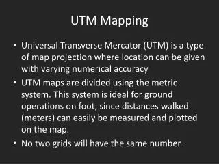
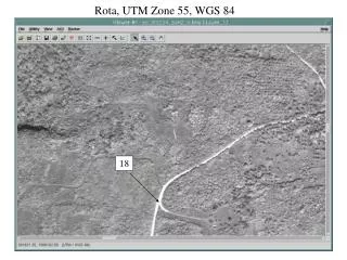
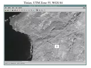
This document provides a comprehensive overview of the utility pole mapping system in Tinian, utilizing the Universal Transverse Mercator (UTM) Zone 55 and the World Geodetic System (WGS) 84 reference frame. It identifies specific locations of utility poles across Tinian, aiding in infrastructure planning and maintenance. The mapping approach ensures accurate geographic representation, which is crucial for developing efficient utility services and enhancing community planning on the island. This work contributes to better resource management and operational effectiveness.

yan
Télécharger la présentation

Mapping Utility Infrastructure in Tinian Using UTM Zone 55 and WGS 84

An Image/Link below is provided (as is) to download presentation Download Policy: Content on the Website is provided to you AS IS for your information and personal use and may not be sold / licensed / shared on other websites without getting consent from its author. Content is provided to you AS IS for your information and personal use only. Download presentation by click this link. While downloading, if for some reason you are not able to download a presentation, the publisher may have deleted the file from their server. During download, if you can't get a presentation, the file might be deleted by the publisher.

E N D

Presentation Transcript


  1. Tinian, UTM Zone 55, WGS 84 5

  2. Tinian 6, Utility Pole

  3. Tinian 7

  4. Tinian 8

  5. Tinian 9

More Related