Download
1 / 31
320 likes | 495 Vues
Earthquakes and Volcanoes. AIM: How does the energy of an earthquake travel through Earth?. What are Earthquakes?. An earthquake is the shaking and trembling that results from the movement of rock beneath Earth’s surface.

E N D
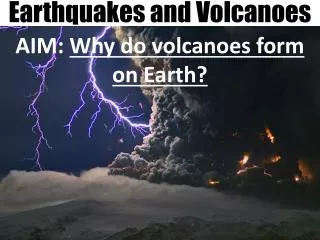
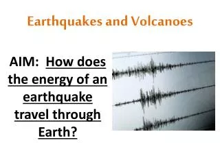
Earthquakes and Volcanoes AIM: How does the energy of an earthquake travel through Earth?
What are Earthquakes? • An earthquake is the shaking and trembling that results from the movement of rock beneath Earth’s surface. • There are several THOUSAND earthquakes every day, but most are too small to notice. • Plate movements create stress in Earth’s crust, creating faults. • Stress increases along a fault until the rock breaks, causing an earthquake. • Earthquakes release enormous amounts of stored energy.
Focus: the area beneath Earth’s surface where an earthquake originates. • Epicenter: the place on Earth’s surface lying DIRECTLY ABOVE the focus.
Epicenter Focus Fault
Types of Seismic Waves • An earthquake produces vibrations called waves. • Beginning at the focus, waves carry energy outward in all directions.
PRIMARY WAVES • Also called P-Waves. • Compress and expand like a slinky. • Can travel through solids, liquids, and gases.
2. SECONDARY WAVES • Also called S-Waves. • Vibrate up and down as they move forward. • Can ONLY travel through SOLIDS.
3. SURFACE WAVES • When some P and S waves reach the surface, they can become surface waves. • Can make the ground roll like ocean waves.
What can people do to protect themselves during an earthquake? • Drop down under a strong object (desk, table, etc.) • Turn away from windows • Do not go very far (only 10-30 seconds long)
During the April 1949 earthquake near Tacoma, Washington, the owner of the Busy Bee Café barred the doors to keep panicking patrons from rushing outside. Seconds later, brick fell from the top of the Hotel Seattle, crushing several cars.
The Long Beach, California school above shows how dangerous old, brick buildings can be. In the 1949 Olympia earthquake, the Senior Class President of Castle Rock High School was killed by falling bricks. The gable on the school collapsed, even though the structure was more than 50 miles (80 kilometers) from the epicenter.
Landslides are an often-overlooked danger of earthquakes. They are particularly likely during rainy, water-soaked winter months in Cascadia. Almost 40 miles (60 kilometers) from the epicenter, this section of the Union Pacific Railway was left dangling after the hillside fill beneath it slid away in the 1965 earthquake.
How can we Measure Earthquakes? The 3 most commonly used methods are: • Mercalli Scale: rates earthquakes according to level of damage. • Depending on your location, the same earthquake can have many different ratings.
2. Richter Scale: rates an earthquake based on the size of its seismic waves. • Magnitude: number given to an earthquake based on its size. • Seismic waves are measured using a seismograph. • Does not work well for large or distant earthquakes.
Spring Rotating drum marker weight Bedrock
3. The Moment Magnitude Scale: estimates the total energy released by an earthquake. • Most often used by geologists today. • Can be used for near and distant earthquakes. • Data used from: • seismographs • wave types and strength • movement along fault • strength of rocks that broke
How can we locate the epicenter of an Earthquake? • To locate an epicenter, geologists need to use seismographs in at least 3 different locations. • P and S waves travel at different speeds, and arrive at seismographs at different times. • The further a seismograph is from an earthquake, the bigger the time difference between arrival of P-wave and S-wave.
Using a map, geologists draw at least 3 circles using seismograph data to determine the exact location of an earthquake.