Download
1 / 18
180 likes | 455 Vues
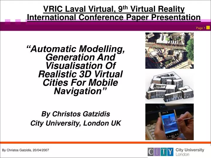
VRIC Laval Virtual, 9 th Virtual Reality International Conference Paper Presentation. “Automatic Modelling, Generation And Visualisation Of Realistic 3D Virtual Cities For Mobile Navigation” By Christos Gatzidis City University, London UK. Overview Of The Presentation.

E N D
VRIC Laval Virtual, 9th Virtual Reality International Conference Paper Presentation “Automatic Modelling, Generation And Visualisation Of Realistic 3D Virtual Cities For Mobile Navigation” By Christos Gatzidis City University, London UK
Overview Of The Presentation • This presentation will attempt to describe some of the key concepts in the publication • A short introduction and also some related background research issues on 3D urban modelling and also visualisation on mobile devices • A brief insight into our Virtual City Maker solution (a system consisting of stand-alone plug-ins which using appropriate input data can automatically and/or interactively generate accurate geo-referenced 3D urban models for mobile device use) • A brief insight into our Virtual Navigator solution (a visualisation engine that can be used for 3D urban navigation on PDAs) • Some preliminary evaluation results • Summary & some suggestions for improvements / future work
Introduction • 3D urban modelling can be defined as the geometric and graphical object reconstruction of not only all buildings but also of the surrounding environment (terrain, streets, vegetation etc.) of a city area • Many applications exist today for 3D city modelling, thus demonstrating a significant need for it (location based services systems, pedestrian and car routing systems, urban planning, police/army training simulators and others) • One of these applications is also mobile navigation on cellular phones or PDAs • Cost-effective, efficient, non time-consuming production for 3D urban models cannot be manual • Many challenges involved in producing models automatically/semi-automatically for mobile devices: • Large number of geometries, textures and surrounding environment objects in an average city structure • Lack of computational power • Limited representation and communicative scope on smaller size, low resolution screens
Related Work • A lot of work in procedural city modelling in modern computer graphics research • Two common approaches: fully-automatic and semi-automatic (or interactive) • Automatic approaches generally approach the problem in three different ways: • Aerial images (Nevatia and Price, 2002) • Laser scanning data (Wehr and Lohr, 1999) • 2D ground maps (GIS data) (Vosselman and Suveg, 2001) • Semi-automatic ones can also be categorized (in a different way) • Two step approach (choice of building and then instantiation by user input, Zhang, Zhang and Hu, 2001) • User assisted process (direct interaction with user, from validating to e.g. mapping a texture, Brenner, 1999) • Shifting the role of the introduction of geometric information to the user (Gruen and Wang, 2001) • Hybrid methods also exist (and generally considered more effective) • However most of the research in this area fails to take into account mobile device constraints
The Virtual City Maker approach… • To tackle this we have developed a system called Virtual City Maker which relies on scripting algorithms for automatic and also interactive creation of photorealistic urban content • Hybrid system (either automatic and/or semi-automatic) • Developed on MaxScript and 3D Studio Max SDK (also using ARC GIS for generalizing complex urban 2D ground maps) • Stand alone plug-ins comprise the system which can then be unified under a single user-interface • For accurately placed, geo-referenced and realistic output models the systems uses 4 different input data types • Aerial image data • 2D ground maps • GIS data (in form of .shp files) • Terrestrial image data (for textures) • Focus is placed mostly on building creation with many extensions to modelling other parameters such as terrain, the environment, surrounding objects, different types of shading • Producing different levels of LOD (level of detail) and controlling the final polygon count always a key parameter to all plug-ins
The Virtual City Maker approach… Input Used the Virtual City Maker system based on the input used
The Virtual City Maker approach… .shp data .shp attributes for a single London building
The Virtual City Maker approach… Generalisation generalizing the 2D ground maps using ARC GIS
The Virtual City Maker approach… Workflow Scheme a workflow scheme of methods
The Virtual City Maker Approach… Plug-in List detailing the tools/plug-ins of the modelling approach
Building Creator Plug-In detailing the Building Creator plug-in
Polygon Reductor Plug-In detailing the Polygon Reductor plug-in
Tree Maker Plug-In detailing the Tree Maker plug-in
City Shader Plug-In detailing the results of the City Shader plug-in (cartoon rendered, wireframe and clay rendered)
The Virtual Navigator Approach… • In the past researchers have prototyped a number of mobile VR applications and a comprehensive list of past prototypes has been documented (Liarokapis, Brujic-Okretic and Papakonstatinou, 2006) • Most prototypes present just the spatial geography in a low frame-rate (Koda, Nakazawa and Ishida, 2005, Marsden and Tip, 2005, Vainio and Kotala, 2002) • One of the main objectives of this work is to generate a mobile VR navigation application which can provide high degree of realism, allow for user-friendly interaction techniques and operate in real time despite of the limitations in terms of speed and graphics of mobile devices • To fulfill these requirements a mobile navigation engine called Virtual Navigator has been developed on PDAs that make use of the Windows Mobile 5.0 operating system • Graphics functionality is based on VRML technology • Availability of GPRS in the device allows interactive hyperlinks inside the 3D map that provide external navigation (i.e. links to Google maps) • GUI implemented in Microsoft Foundation Classes (MFC)
The Virtual Navigator Approach… Part 2 • The virtual navigation and wayfinding on the system can be performed in two different modes, automatic and manual • Automatic Mode an external GPS device provides position information to the application while orientation is calculated from the GPS heading parameter • Manual Mode user input is required using the stylus of the device the PDA keyboard or the GUI menu • Other features include: • Changeable lighting conditions • Collision detection • Visualisation viewpoints (directional text) • Virtual avatars / guides Virtual Navigator screen grabs
Preliminary Evaluation Study • To verify the preliminary aims of this work an initial evaluation study was conducted • Main aim of this study focused on providing an urban modelling framework and a system for urban navigation for people with no previous experience • Ten volunteers (7 male, 3 female) were assigned four different wayfinding tasks on a PDA device running Virtual Navigator • First task compared a photorealistic 3D urban model against a non-textured one • Second task compared a partially textured model (landmarks only) against a fully textured one • Third task compared high-resolution textured models against low resolution ones • Final task compared an enhanced 3D map (with additional objects such as trees, benches, pavements and ground) against a simply textured one • The use of textures was found preferable and also that the extra street geometry enhances the overall experience. However, most users favoured low-res textures and also landmark-only textured models evaluation study results; ease of use, ease of learning, satisfaction
Summary And Future Work • The paper presents a comprehensive solution to modelling (Virtual City Maker) and displaying (Virtual Navigator) 3D urban virtual models taking into consideration a number of issues such as their computationally-challenged hardware but also incessant technological advances, navigational issues and user feedback based on interaction studies • Work both on the modelling and visualisation techniques presented above is continuous and on-going • Some key issues where work is under way: • Introduction of a new plug-in which can semi-automatically model landmarks according to their type (statues, cathedrals etc.) • Introduction of a new plug-in which via access to a library of different meshes can interactively enrich the virtual scene with a number of objects (similar to Tree Maker script) • Integrating semantic details to buildings so that interior details can be modelled too, such as inner walls, thus also extending to the indoor modelling urban field • Integration of a digital compass alongside the GPS providing more accurate orientation information • QUESTIONS?