Exploring Wind Energy Siting: A Comprehensive Hands-On School Project
This project focuses on the geographical siting of wind energy systems, offering students hands-on experience in the analysis and data collection necessary for understanding wind resources. Students will investigate potential sites for wind turbines, use GIS mapping to identify optimal locations, and simulate visual impacts of turbines through photosimulation. Emphasis will be placed on data analysis, environmental considerations such as bird migration, local community opinions, costs, and state incentives for wind energy projects. Engage your students in the practicalities of renewable energy!

Exploring Wind Energy Siting: A Comprehensive Hands-On School Project
E N D
Presentation Transcript
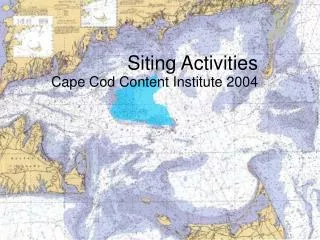
Siting Activities Cape Cod Content Institute 2004
Hands On… • Scale Activity • Seeing the Wind • Data Analysis • Geographical Siting Challenge • School Siting Project
Photosimulationof Wind Plant ActualWind Plant
Data Analysis • A great deal of analysis is done on wind resources at a particular site…. • Some schools already collect data with weather computer stations… • Other cheap data collectors and loggers
Orleans Data Mt. Tom Data
Mt. Tom Orleans
Create Wind Roses Mt. Tom Orleans
Examine Maps Orleans Site Mt. Tom Site
Other Maps • Transmission Grid • Threatened Species • Bird Migration Patterns • Roads & TOPO
Site at Your SchoolPretend like you are going to install a wind turbine. What do you need to know. • Data Collection Analysis • Survey Local Population Opinions • Visual Simulations • Cost/Benefit Analysis & State Incentives • Turbine Specifications • Permitting