Download
1 / 26
260 likes | 380 Vues
This project involves $100 million funding for enhancing resiliency against storms, focusing on saltmarsh habitat connectivity. Emphasizing watershed and water quality improvements in Narrow River for a sustainable refuge environment. Team objectives include recommending actions for ecological enhancement, irrespective of ownership, with ongoing efforts in estuarine habitats.

E N D
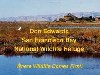
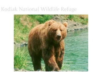
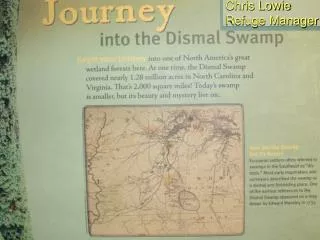
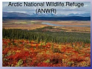
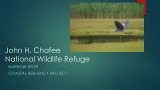
John H. ChafeeNational Wildlife Refuge Narrow River Coastal Resiliency Project
Agenda • Team Objectives Process and timelines • Resiliency funding, planning, and execution • Interagency cooperation in planning • Management Framework and working parameters • CRMC, ACOE, FWS • Background/baseline information/available information • Team organization, next steps
Hurricane Sandy Resiliency Funding • $100 million awarded to federal agencies • To promote natural resource enhancement / resiliency against storms • Projects selected on a competitive basis • Fish and Wildlife Service in Rhode Island received $6 million • Coastal Program (SNEP) $2 million • Aquatic habitat connectivity • Rhode Island National Wildlife Refuge Complex $4 million • Saltmarsh habitat enhancement and resiliency • Sachuest Point NWR • John H. Chafee NWR
Program Funding • Funds to be obligated within three years of receipt (2017) • High level of scrutiny and bean counting • Anticipate obligating most funds under cooperative agreement with The Nature Conservancy • No matching fund requirements
Project Area Boundary and Teams • Goal is to promote and enhance national wildlife refuge natural resources • The health and productivity of Refuge habitats is dependent on: • Water quality and watershed conditions in the Narrow River • Dependent on the health and productivity of saltmarsh habitats adjacent to the Refuge and in the estuary as a whole.
Project Area Boundary • Project will focus on saltmarsh conditions throughout the estuary, and • Watershed conditions in the Lower Narrow River (primarily Pettaquamscutt Cove). • Watershed/Water Quality Team • RIDEM, NRPA, Towns of Narragansett and South Kingstown
Team Objectives • Identify recommended actions to enhance saltmarsh/estuarine conditions on an ecological basis • Regardless of Ownership • Identify those actions specific to each saltmarsh management unit or area. • Use by FWS / ACOE / Others for subsequent planning and execution • Final actions may be modified based on public involvement, public use needs, agency requirements, Environmental Assessments, cultural resource protection, etc..
Estuarine and MarineHabitats Ongoing planning efforts: Potential for using dredging and beneficial use of dredge materials
Agency Planning Direction - FWS FWS Complete an Environmental Assessment (use ACOE Docs?) • Refuge Purposes Waterfowl, migratory birds, endangered species, wildlife dependent recreation • Cultural resource protection • Endangered Species Act Compliance Piping plover • Biodiversity Regulations (intelligent tinkering) Saltmarsh sparrow conservation State listed endemic plants / species of concern • Impacts on resources and landowners – changes in tidal levels • Federal permits (ACOE / CRMC, etc. )
Agency Planning Direction • U.S. Army Corp. of Engineers • RI Coastal Resource Management Council
Available Information • Mapcoast / Soils • Marine fisheries • ACOE feasibility Study • Habitat Component mapping and surface profiles
Habitat Components • Saltmarsh (Spartina dominated communities) • Pools and Pans • Tidal (brackish) marsh • Estuarine shrub wetland
Habitat Components Marsh migration areas Areas within the LIDAR 2 foot and 4 foot elevation contour At this point, surrogate for SLAMM Kevin Ruddock (TNC) running SLAMM analysis For drainage – available soon
Well drained saltmarsh Based on aerial imagery Areas within 50 feet of functional drainage or shoreline Estimate change if ditches were maintained
Saltmarsh Surface Profiles • Refuge reach and Pet Cove • Tied to elevation marker (1.54 ft NGVD) • Rough approximation of conditions
Vegetation by Elevation Better information available
Saltmarsh ShorelineStabilityBased on 2012 FWS SurveyPre-construction monitoring