1 / 28

GeoTIFF-A Standard Image File Format for GIS Applications Sk. Sazid Mahammadsazidipdpg R. Ramakrishnan SAC, ISRO,Ahmed

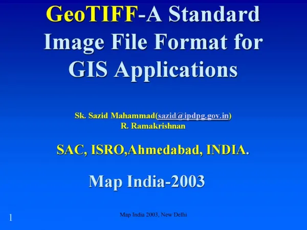
January 26, 2013. Map India 2003, New Delhi. 2. GeoTIFF(Geographic Tagged Image File Format) Mission. To exploit extensibility feature of TIFF to embed Geographic or Cartographic information associated with TIFF imagery that originates from satellite imaging systems and other sources.Major Contri

zuzana
Télécharger la présentation

GeoTIFF-A Standard Image File Format for GIS Applications Sk. Sazid Mahammadsazidipdpg R. Ramakrishnan SAC, ISRO,Ahmed

An Image/Link below is provided (as is) to download presentation Download Policy: Content on the Website is provided to you AS IS for your information and personal use and may not be sold / licensed / shared on other websites without getting consent from its author. Content is provided to you AS IS for your information and personal use only. Download presentation by click this link. While downloading, if for some reason you are not able to download a presentation, the publisher may have deleted the file from their server. During download, if you can't get a presentation, the file might be deleted by the publisher.

E N D

Presentation Transcript


    More Related