Download
1 / 10
100 likes | 243 Vues
Year 8. European Map work. You need to colour in the member countries of the European Union ( EU ).Use your atlas to help you. United Kingdom Denmark Italy Republic of Ireland France Spain Luxembourg Netherlands Greece Belgium Germany Austria Finland Sweden Portugal

E N D
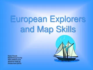
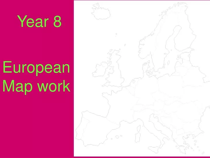
Year 8 European Map work
You need to colour in the member countries of the European Union ( EU ).Use your atlas to help you United Kingdom Denmark Italy Republic of Ireland France Spain Luxembourg Netherlands Greece Belgium Germany Austria Finland Sweden Portugal Czech Republic Estonia Hungary Cyprus Latvia Lithuania Malta Poland Slovakia Slovenia
As you colour in the EU countries you need to complete your list of countries on the back of your map along with the capital cities, e.g. COUNTRY CAPITAL CITY 1. United Kingdom London 2. Denmark 3 .Italy 4 .Republic of Ireland 5. France 6. Spain 7. Luxembourg 8. Netherlands Etc etc……..
A Political Map of Europe Denmark ? Germany ? United Kingdom?? France ?? Spain ?? Sweden ?? Norway ? Switzerland ? Ireland ? Portugal ? Italy ?
A Physical Map of Europe Now that we have marked in the main countries and their capital cities we shall now complete a PHYSICAL map of Europe. • Mark in the following mountain ranges in brown • The Alps • Pyrenees • Apennines • Central Massif • Carpathians
Then mark in the following major European Rivers • Rhine • Danube • Elbe • Loire • Thames • Seine • Then mark in the following Ocean and sea areas • Atlantic Ocean • North Sea • Black Sea • Mediterranean Sea • English Channel
A Physical Map of Europe • Rhine • Danube • Elbe • Loire • Thames • Seine North Sea 7. The Alps 8. Pyrenees 9. Apennines 10. Central Massif 11. Carpathians 3 5 1 Atlantic Ocean 11 Black Sea 6 7 4 10 2 8 9 Mediterranean Sea
Now that you have finished your political and physical maps of Europe you will now need to complete a written description. Use your maps to complete the worksheet on the description of Europe N Remember your compass directions, they will help you!! W E S
A Description of Europe When writing your description of Europe you need to build in the following:- Physical geography – mountainous areas. What are their names and where are they found? What are the names of the main rivers and where do they flow? Sea areas? Use place names. ( check the spelling using your map and atlas) Human geography – The different countries, where are they and what are the names of their capital cities? Use compass directions. Build in direction. – use compass points. Which countries are members of the EU?
A Description of Europe Use the sheet that you have been given on the description of Europe. You need to make a copy of the description and use the words at the bottom of the page to fill in the missing words. There are more words than there are spaces, so you will have to use your maps and compass directions!!!!