Download
1 / 18
180 likes | 313 Vues
Ministry of Environment and Spatial Planning, Slovenia. KAMNIŠKA BISTRICA river basin management plan Lille, March 2002. KAMNIŠKA BISTRICA River. springs out at the foothills of Kamniške Alps catchment area covers about 550 km2 high waters, floods, erosion procesess frequent and intensive

E N D
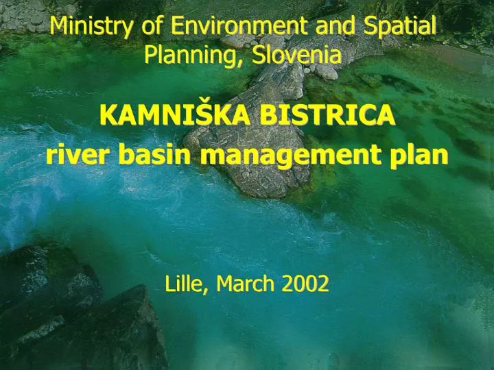
Ministry of Environment and Spatial Planning, Slovenia KAMNIŠKA BISTRICA river basin management plan Lille, March 2002
KAMNIŠKA BISTRICA River • springs out at the foothills of Kamniške Alps • catchment area covers about 550 km2 • high waters, floods, erosion procesess frequent and intensive • length: 33 km
KAMNIŠKA RIVER BASIN • 9 municipalities, 298 settlements, 77.668 inhabitants • industry: chemical, metal, food production, textile, leather
WATER QUALITY ASSESMENT • surface water quality: class 1 for the spring and class 3-4 at the outflow to the Sava River • no data on impact of two major cities on water quality • ground water quality monitored on 7 observation stations
WATER QUALITY MONITORING • ground water quality monitored on 7 observation stations • ground water level monitored at 5 stations, onls to at the same point • drinking water quality monitored regullary (not best quality)
WATER SUPPLY • 9 sources of water from groundwater, no treatment of drinking water • 2 water supply systems (operated by 2 public service companies); 17.000 connections • length of public networks: 420 km • 98 % inhabitants served with drinking water • no data on water use by agriculture
SEWAGE NETWORK • length of sewage systems: 220 km • in 4 municipalities 85% population connected, in others very poor infrastructure, • obsolete network
WATER TREATMENT • in 4 municipalities 85% wastewater treated (highest rate in Slovenia) • in others no treatment • dispersed pollution very high; pig farm discarges directly to the river
WATER USE • not all uses of water identified; only households and industry • households use 40% of water amounts, industry 60 % • industry use in decline, threat of illegal abstraction directly from ground water • agriculture use substantial (irrigation, 12 fish farms, 10 fish ponds), no paymentfor water use
FLOODS • frequent flood accurance = high costs of damages • due to unproper spatial planning (responsibility of municipalities) • policy to involve assurance companies in damage covering not developed yet
LESSONS LEARNED • poor and obsolite infrastructure network, high investmet needs • assets depreciated; no room for capital costs incl. in price • high requirements following the implementation of EU legislation - to cover the gap in a limited time frame
LESSONS LEARNED • not all water uses identified • no tradition in proper pricing (only operating costs of water services included) • due to social reasons prices for water services were kept low for too long • absence of common appoach in solving problems related to river basin, municipality by municipality approach