Download
1 / 10
100 likes | 178 Vues
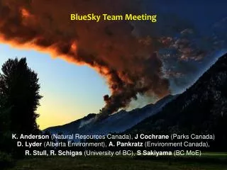
BlueSky Canada Plans for research, including vertically integrated smoke concentrations. Rosie Howard Earth, Ocean & Atmospheric Science Department University of British Columbia, Vancouver, Canada. BlueSky Canada.

E N D
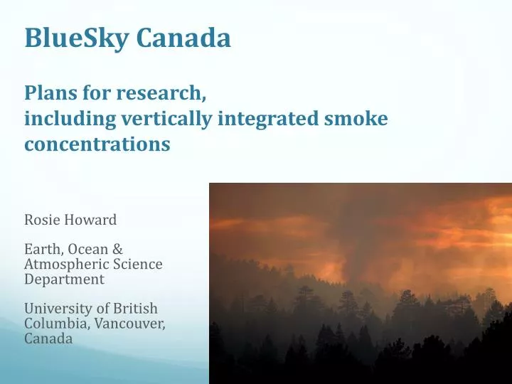
BlueSky CanadaPlans for research, including vertically integrated smoke concentrations Rosie Howard Earth, Ocean & Atmospheric Science Department University of British Columbia, Vancouver, Canada
BlueSky Canada • Objective: To improve ability to track and forecast smoke from wildland forest fires • Why? Agencies and public need to know current and forecast concentrations of PM2.5
BlueSky Framework (simple version) Meteorological forecasts e.g. WRF model Wildfire location and fuel consumption information Emissions Plume rise HYSPLIT (HYbridSingle-Particle LagrangianIntegrated Trajectory) Output: animations of ground-level PM2.5 concentrations, displayed on web
HYSPLIT description (Draxler 1997) • Calculates pollutant concentrations by releasing “particles” or a “puff”, or both • Particles • Puffs • Hybrid: particle dispersion in vertical direction and puff dispersion in the horizontal (Hurley 1994) • Dispersion rate calculated from wind and wind-derived variables • Stability calculated either from heat and momentum fluxes or temp/wind profiles All from meteorological model output
Particle vs. puff release Puff Particle
HYSPLIT output • Ground-level concentrations of PM2.5
Qualitative evaluation • Output compared with MODIS satellite • Not fair comparison: • Forecast smoke is at ground level • Satellite observations – height in atmosphere? (Figure by Steve Sakiyama)
Solution • Output HYSPLIT concentrations at multiple vertical levels and integrate with height
Future projects • Evaluation of plume rise models against observations for most accurate input to HYSPLIT • Evaluation of particle vs. puff vs. hybrid assumptions • Determine how to use satellite imagery to automatically map regions of smoke only, e.g. Automated Smoke Detection Tracking Algorithm, used in US • Ensemble smoke predictions using different models/configurations • Others??
BlueSky Canada Questions? Rosie Howard rhoward@eos.ubc.ca