Download
1 / 1
280 likes | 1.12k Vues
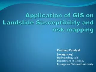
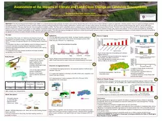
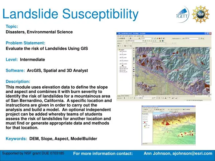
Landslide Susceptibility. Topic: Disasters, Environmental Science Problem Statement: Evaluate the risk of Landslides Using GIS Level: Intermediate Software: ArcGIS, Spatial and 3D Analyst Description:

E N D
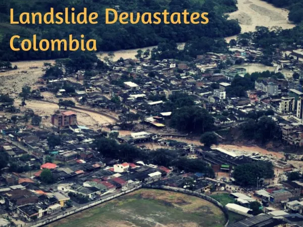
Landslide Susceptibility Topic: Disasters, Environmental Science Problem Statement: Evaluate the risk of Landslides Using GIS Level: Intermediate Software: ArcGIS, Spatial and 3D Analyst Description: This module uses elevation data to define the slope and aspect and combines it with burn severity to identify the risk of landslides for a mountainous area of San Bernardino, California. A specific location and instructions are given in order to carry out the analysis and build a model. An optional independent project can be added whereby teams of students assess the risk of landslides for another location and must find or generate appropriate data and methods for that location. Keywords: DEM, Slope, Aspect, ModelBuilder Ann Johnson, ajohnson@esri.com For more information contact: